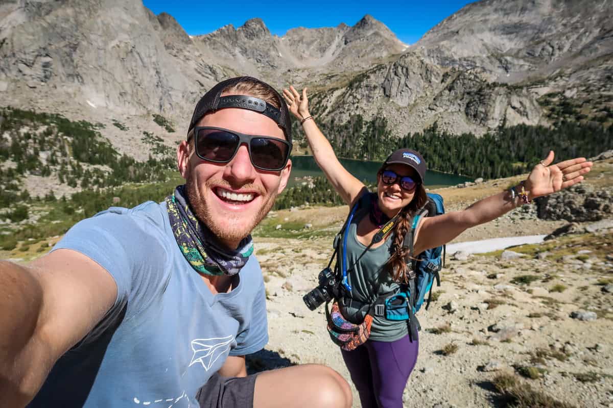
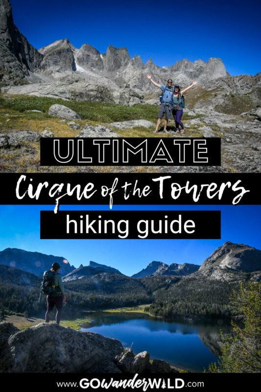
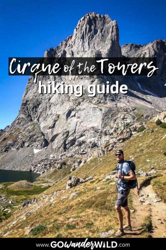
Backpacking the spectacular Cirque of the Towers trail in Wyoming’s remote Wind River Range is the ultimate challenge for adventure enthusiasts. There’s a LOT to know and factor in, so we put together this trail guide with everything you should expect.
In famously beautiful and remote western Wyoming, the Wind River Range is home to jaw-dropping rugged and unforgettable scenery.
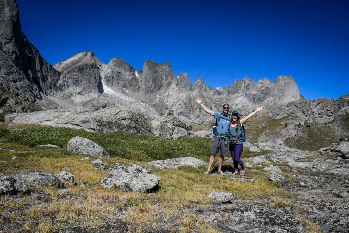
Cirque of the Towers is the star attraction in “the Winds,” an amphitheater-like formation of 15 dramatic peaks, all standing over 12,000 feet tall. The Cirque is also the ‘easiest’ access point into the Winds, drawing hikers, backpackers, and rock climbers from all over the world.
On the 24-mile route, you’ll see soaring craggy granite spires contrasting with colorful, lush meadows, dozens of pristine glacier-fed alpine lakes, countless unnamed streams and waterfalls, and (best of all!) very few people.
Cirque of the Towers Trail Guide
We’ve included some extra info for planning your Cirque of the Towers hike. Jump to the following sections (or just keep scrolling to see it all!).
- Cirque of the Towers trail stats
- Hike overview
- Know before you go
- The route
- Tips for hiking Cirque of the Towers
- Where to camp
- What to pack

Cirque of the Towers trail stats
- Location: Bridger Wilderness, about 55 miles from Pinedale, Wyoming
- Distance: 24-mile loop
- Elevation gain: 3,850 feet
- Difficulty rating: Challenging
- Timing: overnight to 2-3 nights on the trail (we recommend 3 days, 2 nights)
- Pets: welcome and allowed off-leash in designated areas
- Permits: none required
- View the trail notes
Cirque of the Towers hike overview
The Wind River Range is a remote sub-range of the Rockies, home to not only the tallest mountain in Wyoming (13,810-foot Gannett Peak), but nine of the state’s 10 highest peaks, too.
Unsurprisingly, hard-core outdoor adventurers go to great lengths (literally!) to hike or climb here, especially Cirque of the Towers. However, the Winds are noticeably uncrowded, overshadowed by the uber-famous Grand Tetons three hours north.
Even when the trails are ‘busy,’ they’re far from actually busy, and amazingly, you don’t need a permit or reservation. Perhaps just as amazing, the Cirque is even dog-friendly!
Having said that, hiking to Cirque of the Towers is only for advanced hikers and backpackers experienced in extreme terrain. These isolated, unforgiving mountains are not the place to go backpacking for the first time to see if you like it.
You’ll have to navigate off-trail, summit steep boulder fields, and possibly do some mountaineering, all with a heavy pack and no cell service. If that sounds like your kind of Type 2 fun, you’ll love this hike.
Things to know before you go
With a remote location, tricky mountain passes, frequently-changing weather, and choices of hiking distances and where to camp, there are several things to consider when planning a Cirque of the Towers trip.
Best time of year for the Cirque of the Towers hike
The best time to hike to Cirque of the Towers is mid-August through early September. This short timeframe is the best for both weather and bugs.
While the hiking season technically spans the entire summer, the trail is typically snow-covered until well into July. June and July also bring hordes of relentless mosquitoes and biting flies.
At the tail end of the season, snow may start up again as early as mid-September. In 2023, over three feet of snow covered Texas Pass by early October!
How long does it take to hike Cirque of the Towers?
We recommend two nights and 2.5-3 days on the trail. This allows you to hike at a more leisurely pace and enjoy some time at camp, plus it’s smart to build in some cushion in case of any hiccups (like bad weather) or emergencies.
You can hike Cirque of the Towers as an aggressive overnight trip or do a condensed out-and-back route, but for the loop we recommend, two nights is ideal.
How difficult is the Cirque of the Towers hike?
The trek to Cirque of the Towers is challenging, even for experienced hikers. Aside from the elevation, the passes, in particular, are difficult and technical.
We don’t recommend it as a first trip, but Cirque of the Towers is totally manageable for people who have done at least some backpacking. If you have a couple of overnight trips under your belt, especially at high altitude, you’ll be fine.
Wildlife on the trail
Both black bears and grizzlies live in the Wind River Range, but sightings on the trail aren’t very common. Still, take precautions. Bring bear spray (and equally important, have it readily accessible as you hike!), cook well away from your tent, and use a bear canister.
The biggest wildlife concern at the Cirque of the Towers is actually marmots. These critters get extremely food-aggressive, and have been known to rip through packs or tents to get food. We can’t emphasize the importance of bear canisters enough!
The route
We broke down the route for hiking the Cirque of the Towers trail into parts to give you an idea of what to expect on the route.
Before we dive into specifics, know that there isn’t one ‘right’ way to do this hike.
We’re offering well-researched recommendations for distances and where to camp, but your Cirque of the Towers hike may look slightly different.
With that said, hike the loop clockwise, starting out on the Fremont Trail. Before setting out, sign the trail registrar at the trailhead.
Also, you can camp almost anywhere along the trail, but should still set up in previously-used sites to minimize impact. Now, let’s get into the hike details!
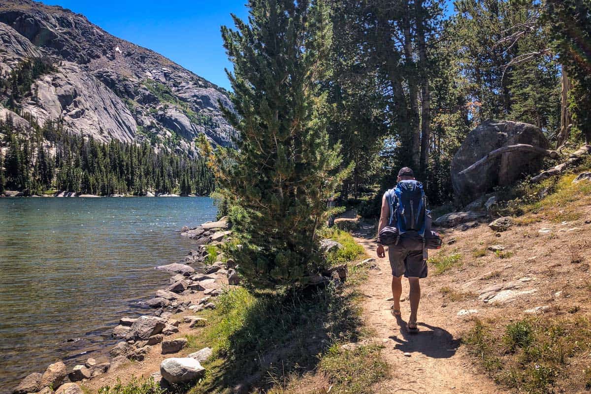
Day 1: Big Sandy Trailhead to Marms or Shadow Lake (8.5-10.9 miles)
Day one is relatively easy-going. You won’t cross any big passes, and elevation gain is gradual. As a major perk, this side of the loop is also the least traveled.
The first section is under tree cover, following alongside the Big Sandy River. Half a mile in, take a left at the trail junction to go clockwise and begin your loop.
Quick note: going right at the junction follows Big Sandy Trail, a shorter, more direct but far steeper and more technical route to the Cirque. If you’re day hiking, this out-and-back route is for you.
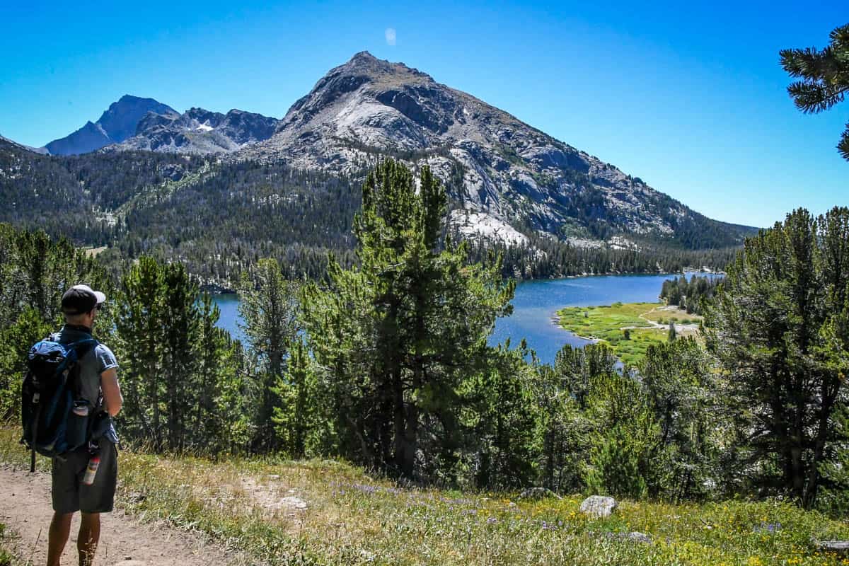
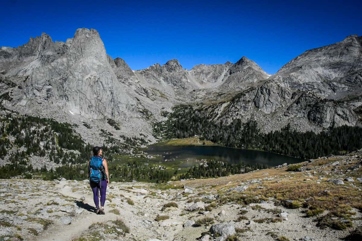
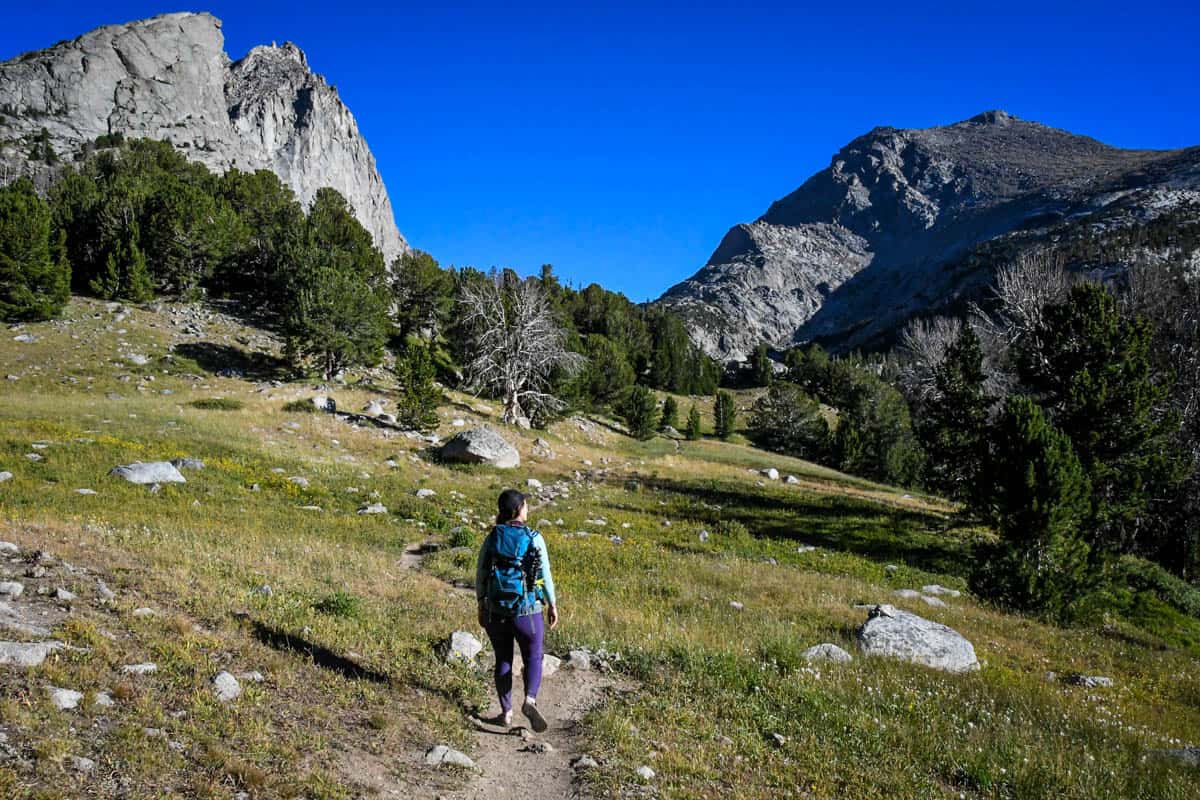
Three miles in, you emerge from the forest into an expansive meadow and get your first head-on view of the mountains you’re hiking toward.
At about the five-mile mark, pass Mirror Lake on your right. Next comes Dad’s Lake, on your left at 6.5 miles, then Marms Lake, 8.5 miles into day one.
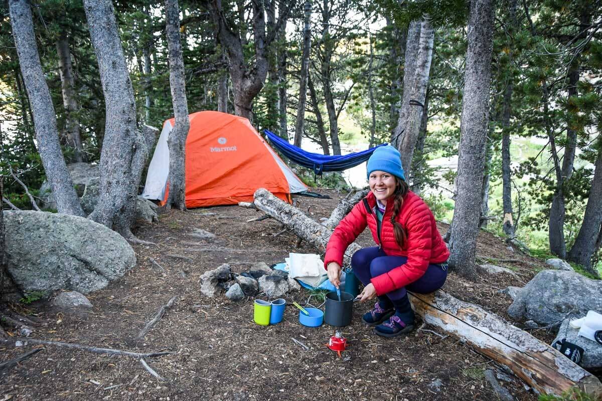
Where to camp: Night 1
Depending on the time and how you’re feeling, Marms is a good place to spend the night. If you’re up for more hiking, camp at Shadow Lake, which many people swear is the most scenic lake on the entire route. It’s 2.5 miles further, at exactly 10.9 miles.
The trail from Marms Lake to Shadow Lake is wide open and fairly easy, so you can make the decision in the moment. Regardless, look for a trail junction at the far end of Marms Lake and take a right, onto Hailey Pass Trail.
Day 2: Marms or Shadow Lake to Lonesome Lake (3-5.4 miles)
We know, the distance for day two seems suspiciously low. Don’t be fooled; today, you’ll tackle the hardest section of trail to Cirque of the Towers: notoriously brutal Texas Pass.
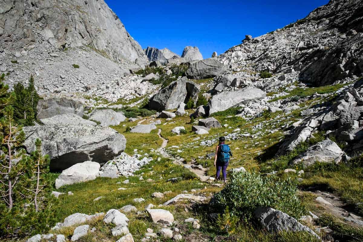
Just beyond Shadow Lake, the official trail ends for a time, so you technically hike Texas Pass ‘off-trail.’ While it’s well traveled, the trail here is unmarked and rougher than elsewhere.
Aside from having up to a 60% grade, the pass is covered in boulders and loose scree, resembling a rock slide. It’s also the trail’s high point at 11,500 feet, and often seems to have its own weather!
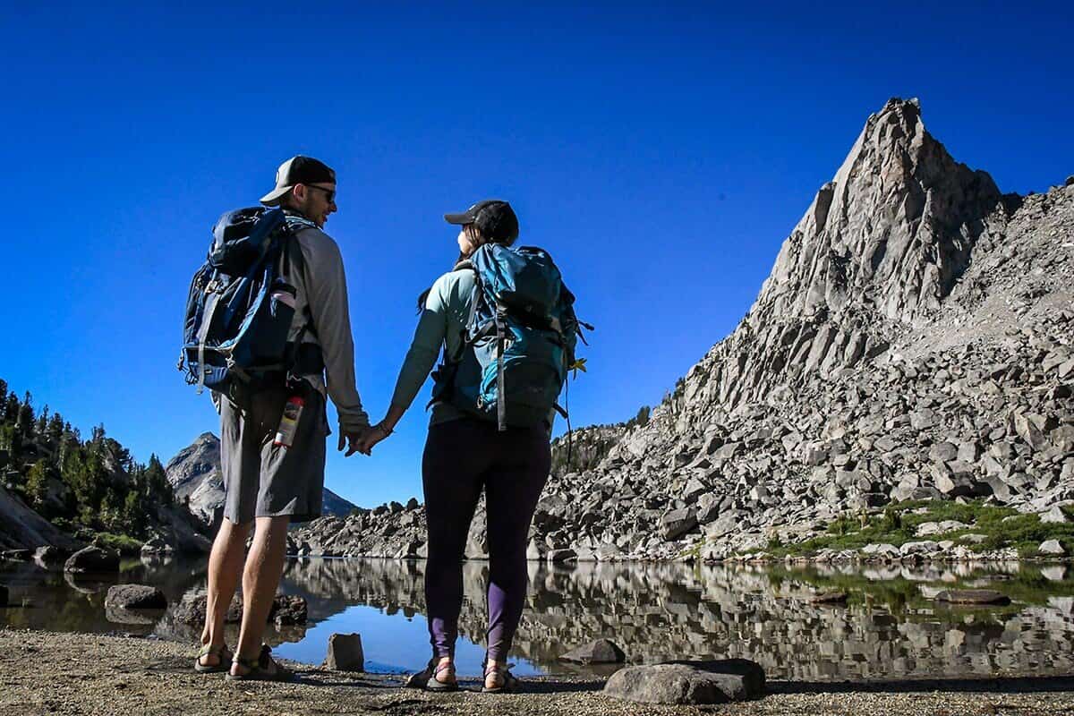
Approaching Texas Pass, the established trail takes you to Texas Lake at its base. Hike along the north side of Shadow Lake, then connect to Billy’s Lake and from there, hop across the trail to Barren Lake. Finally, you’ll come to Texas Lake and the formidable pass.
From the lake to the top of the pass, you’ll climb 750 feet in just 0.3 miles. Prepare to scramble and potentially even get on all fours. Also, note that it’s always windy in this area (hence the name Wind Range!).
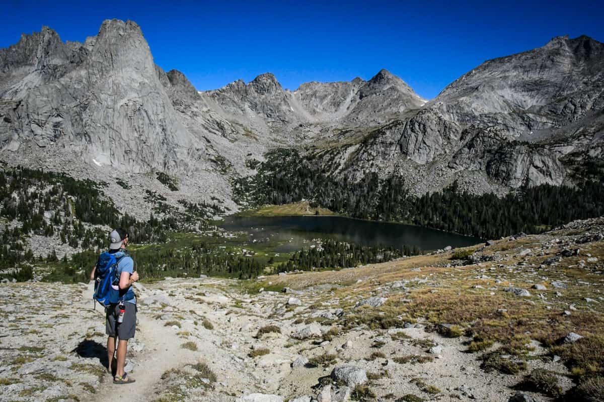
As soon as you come over the top of Texas Pass, the Cirque seems to unfold before you. The views from here are by far the best on the entire hike, so soak it in.
Now, descend the pass toward Lonesome Lake, a task nearly as difficult as the climb up. This stretch, from Texas Lake to Lonesome, takes most hikers 2-2.5 hours.
Where to camp: Night 2
Important: you cannot camp within ¼ mile of Lonesome Lake. Unfortunately, excessive human feces has made the water totally unsafe (yes, we’re 100% serious—we wish we were kidding!). This is a good time to encourage everyone to practice Leave No Trace.
With the campsite restriction in mind, start looking for a place to camp as soon as you descend Texas Pass. It’s the most popular camping area on the route to Cirque of the Towers, so you may have to spend some time looking for more secluded sites.
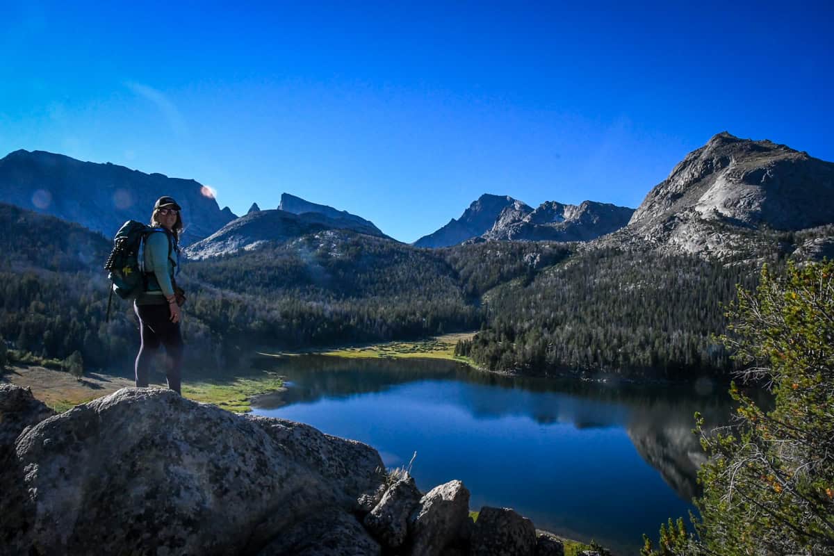
Coming down from the pass, the trail will lead to Lonesome Lake’s northwestern shore. On the backside of the lake and just above it, there’s a lovely meadow with dozens of campsites and phenomenal views of the Cirque.
If you don’t find a site in this area, walk around the lake’s eastern shore to another meadow on the far side. Although the sites here are a bit smaller, some people prefer them because they sit on a ridge overlooking Lonesome Lake, between Pingora Peak and Warrior Peaks.
Camping near Lonesome Lake is highly recommended. The lake sits in a valley between the two passes, so if you don’t camp here, you’ll have to continue over Jackass Pass. That’s a BIG, extremely challenging day even for expert backpackers.
Day 3: Lonesome Lake to Big Sandy Trailhead (~8.5 miles)
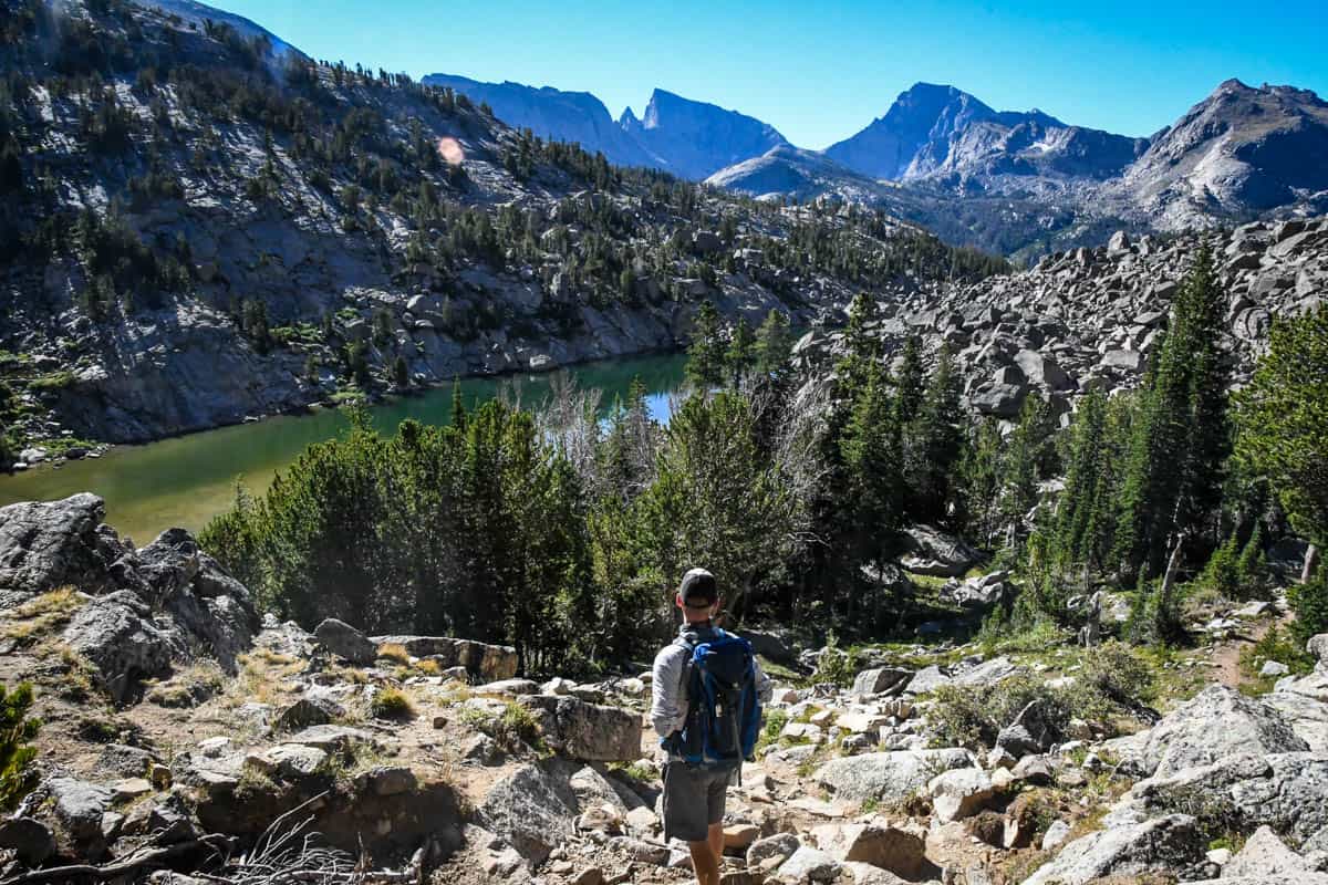
Your next (and really, final) obstacle is Jackass Pass. It’s challenging, but nothing like Texas Pass. As a bonus, it offers some of the best views of the entire hike. The trail surface is a mixture of sand and large rocks, and there’s a big photo op-worthy sign at the top.
Even at a slow pace, you should summit Jackass Pass in about a half-hour or so. On the other side, descend to Arrowhead Lake and then North Lake.
After the pass, the trail alternates between very steep and nearly flat. There are a few sections of switchbacks, but otherwise, this last part of the Cirque of the Towers hike is (mostly) straightforward. You do have to make a decision at Arrowhead Lake.
AllTrails takes you along the western shore, on the climbers’ trail. Although this is the ‘easier’ route, it’s strewn with boulders. Following the Big Sandy Trail to the east of the lake offers stunning views of the Cirque, but is a steeper route.
Big Sandy Lake marks the final milestone on the trail. From here back to the trailhead is five miles, or about two hours. It’s a very gently descending wooded stretch, and the last 0.6 miles retrace your first steps, ending back at the parking lot.
Tips for hiking Cirque of the Towers
- Get gas and stock up on supplies. After Pinedale or Boulder, both tiny and nearly two hours away, there’s literally nothing on the way to the trailhead.
- Plan to filter water. There’s a TON of fresh water along the trail, so there’s no need to pack the extra weight. Just remember that Lonesome Lake water is not safe to drink from, even when filtered.
- Be aware of late afternoon summer storms. Try to get an early start each morning, so you can set up camp before the weather turns.
- Know the symptoms of altitude sickness. Don’t ignore nausea, headache, confusion/disorientation, or vomiting, and quickly get to lower elevation. It’s also helpful to acclimate beforehand for at least one night.
- Stop at Big Sandy Lodge post-hike. Is there a better reward than a huge, fresh burger and local beer? It’s literally three minutes from the trailhead, but note that they’re only open Thursday through Monday and on holidays.
Where to camp nearby
Because Cirque of the Towers is so remote, it’s a good idea to camp nearby for at least one night before your hike. And maybe after hiking, too—who wants a long drive after being on the trail for multiple days?
Big Sandy Campground is right at the trailhead, with 12 first-come, first-served sites. It’s primitive with a vault toilet and no running water, and sites are $7 per night.
Alternatively, the last six-mile stretch of road to the trailhead runs through national forest, and there are basically endless options for dispersed camping here.
If you want to treat yourself in a thoroughly Wyoming fashion, Big Sandy Lodge has 10 rustic, off-grid cabins.
What to pack for hiking Cirque of the Towers
- Navigation*: we recommend using Alltrails+ to download the offline trail map
- Get your first week of using Alltrails+ for FREE when you sign up using our link!
- Water bottle(s) and/or bladder for your Camelbak
- Way to purify your water (we love our Grayl water bottles, and before them we always brought along our Steripen)
- Warm layers (here is a great resource if you’re wondering what to wear hiking)
- Rain jacket
- Hiking boots
- Bug spray
- Sun protection: sunscreen, hat, sun glasses
- Headlamp
- Battery pack (if you are relying on your phone)
- Bear spray (just in case)
- Multi-tool
- Toilet kit: toilet paper, small shovel, bag for packing out TP, hand sanitizer
Optional gear
- Camp chairs (we like our Crazy Creek chairs)
- Fire starter
- Inflatable solar lantern
- Deck of cards
- Camera and tripod (this is our favorite for hiking)
- Binoculars
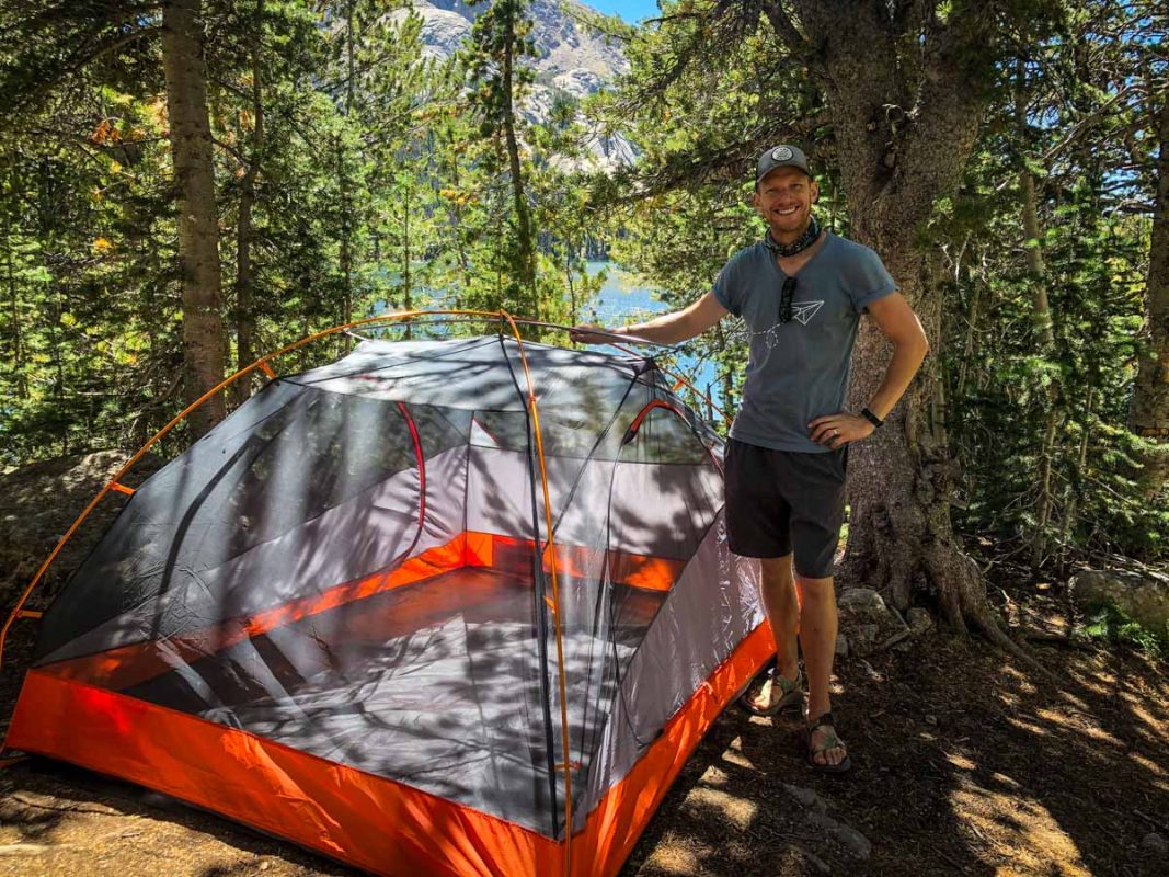
- ENO hammock (we love our 2-person ENO shown above!)
- Book or Kindle
- Notebook and pen/pencil
- Hiking poles
- Shoes for at camp: We like to wear our Chacos sandals at camp as it’s nice to be able to change out of the boots we’ve been wearing all day. Some people like hiking with lightweight Crocs or flip flops for a comfy option at camp.
- Inflatable camping pillow
- Kula cloth: reusable pee cloth for women (Yep, sounds weird, but it has a cult following. I’m new to this, but am loving it so far!)
Food
- Dehydrated meals (we like making our own backpacking meals with dehydrated ingredients, but you can pick up a decent variety at most outdoor stores)
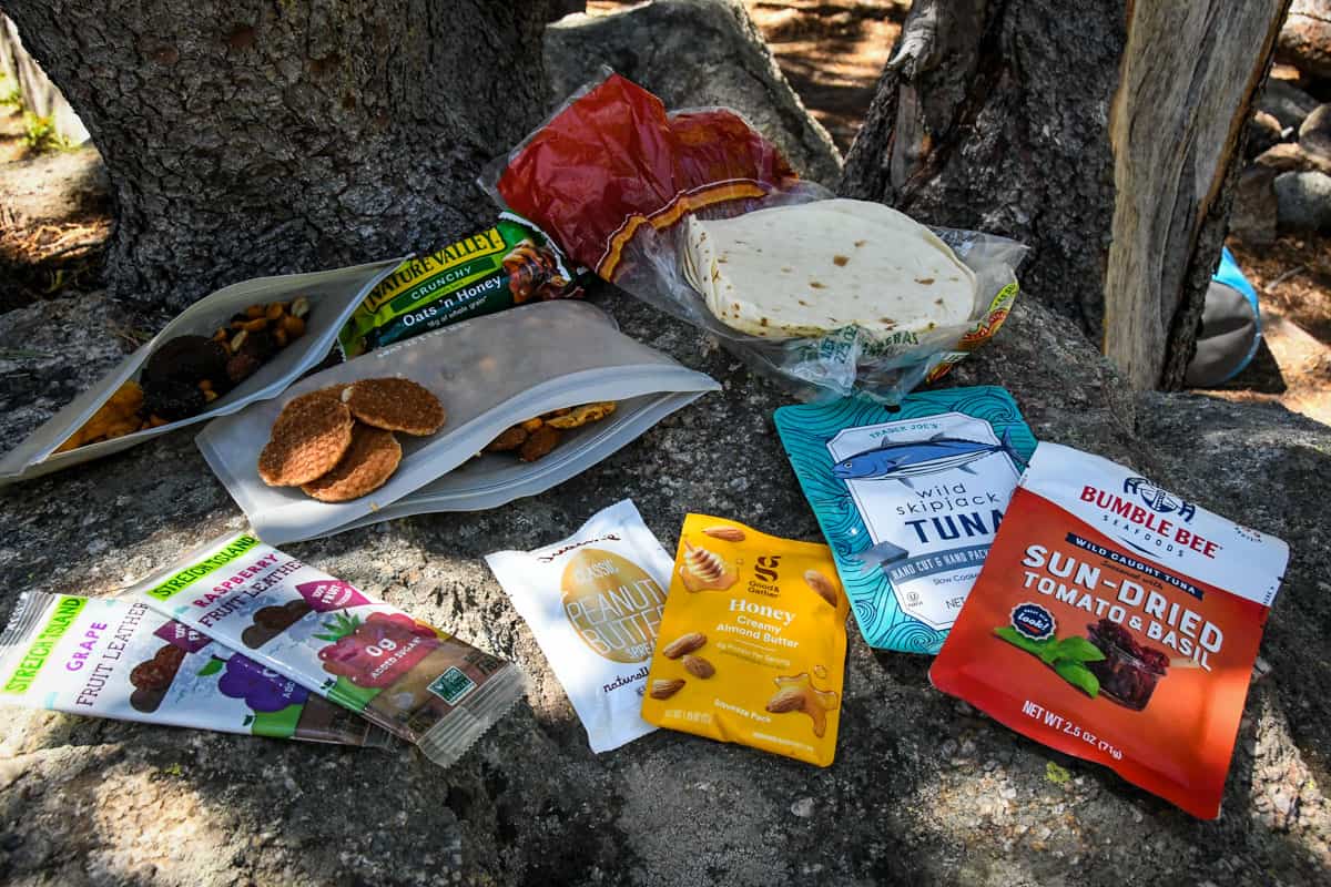
- Snacks: check out our favorite hiking snacks here!
- Tea
- Coffee: here’s how to make the best camping coffee!
Be sure to download our FREE hiking packing list before your next trip and never leave another essential behind again!

You may also like…
- A Beginner’s Guide to Backpacking
- Backpacking Meals: A Guide to Meal Planning on the Trail
- Grand Teton Hikes You Don’t Want to Miss!
- 4-Day Grand Teton to Yellowstone Itinerary
Save this article on Pinterest for later!
We want to hear from you!
Comment below if you have questions about the Cirque of the Towers trail in Wyoming and we’ll do our best to get back to you!