The Navajo Loop Trail in Utah’s Bryce Canyon National Park is a short but challenging trail that delivers incredible views and takes you through towering red rock formations. This guide breaks down everything you should expect while hiking the Navajo Loop.
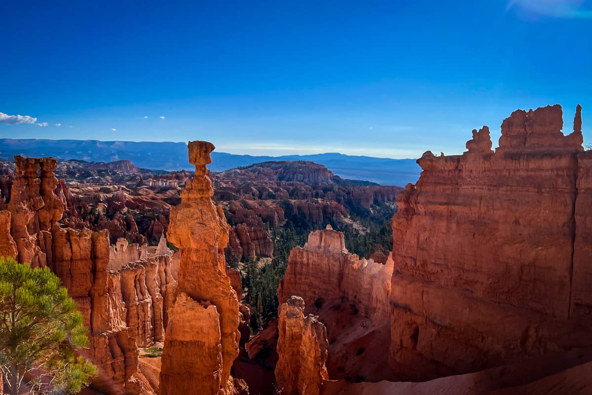
The distinct red hoodoos in Bryce Canyon National Park create a landscape unlike any other. Seeing them is one thing, but getting down in the canyon among the hoodoos is another — and hiking the Navajo Loop Trail is one of the best ways to do that.
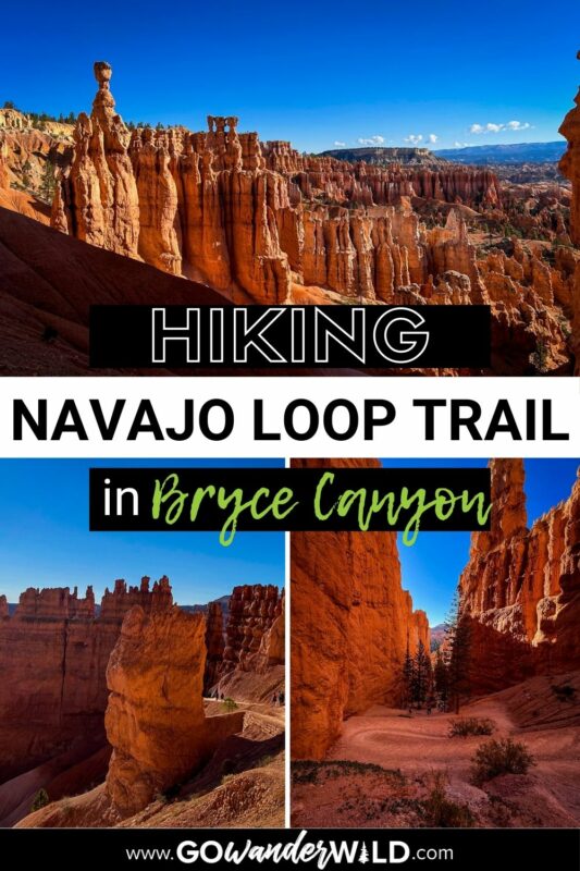
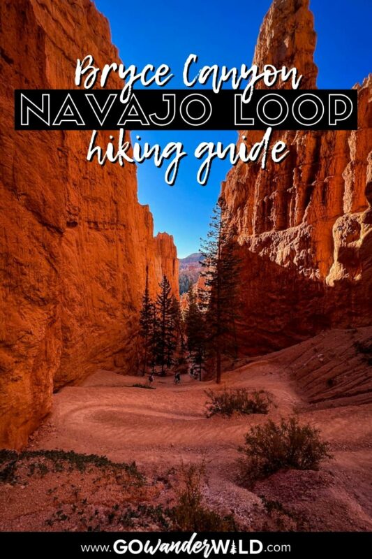
The Navajo Loop is the most popular trail in the park, well-known for its famous switchbacks and narrow slot canyon. Even if you’ve never been to Bryce Canyon, you’ve probably seen a photo of this iconic trail!
Although it’s short, don’t be fooled. The Navajo Loop Trail has steep ascents and descents, offering a fun and memorable challenge.
Special note: The ‘Wall Street’ part of the trail is closed for extensive repairs until at least Memorial Day 2024. Check back on the National Parks Service website for the most current updates.
Article Contents
- Navajo Loop Trail stats
- Hike overview
- Know before you go
- The route
- Tips for hiking Navajo Loop Trail
- Where to camp nearby
- What to pack

Navajo Loop Trail stats
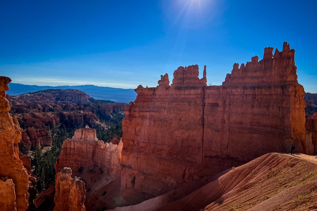
- Location: Bryce Canyon National Park, Utah
- Distance: 1.5-mile loop
- Elevation gain: 515 feet
- Difficulty rating: Moderate
- Timing: 1-2 hours
- Pets: Not allowed
- Permits: No trail permit required, but you will need to pay for admission into the park or have an annual America the Beautiful pass
- View the trail notes
Navajo Loop Trail overview
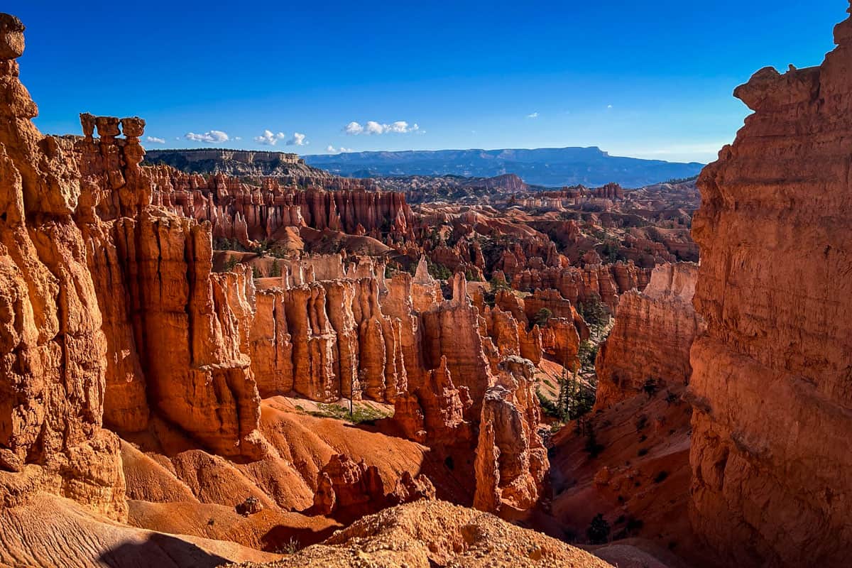
The Navajo Loop Trail is divided into two sections: the Two Bridges side and the Wall Street side, which closes every winter. Wall Street is the only slot canyon in the park, making it a bucket list-worthy route when it’s open.
Any time of year, you can also combine Navajo Loop with the Queen’s Garden Trail for a longer hike. The various trail sections and options create an interesting choose-your-own adventure situation, so you could hike this several times and do it differently each one!
Regardless of the specific route you choose, hiking the Navajo Loop Trail means descending into the canyon, then climbing back out over 500 feet. It’s strenuous but manageable and oh so rewarding!
Psst! Check out our round up of the best hikes in Bryce Canyon National Park to help plan your visit.
Things to know before you go
Before hiking the Navajo Loop Trail, there are a handful of things to keep in mind.
Best time of year to hike the Navajo Loop Trail
The best time to hike Navajo Loop is in the summer or early fall, between June and mid-October. In the winter months, the Wall Street side of the trail is closed, turning it into an out-and-back hike on the Two Bridges side.
The trail typically closes by the end of October and re-opens by Memorial Day in May.
While the Navajo Loop Trail is still worthwhile in the winter (the red rocks capped with snow are an unforgettable sight!), you’ll miss out on exploring the park’s only slot canyon, which many people consider a highlight of the hike.
How long does it take to hike the Navajo Loop Trail?
Most people take an average of 1-2 hours to hike the Navajo Loop. Of course, your individual hiking pace and how many photo or snack stops you make has an impact on that timeframe. If there’s any ice or snow on the trail, your pace will be significantly slower.
If you plan to extend your hike and do the Queen’s Garden trail, roughly double the amount of time allotted.
How difficult is the Navajo Loop Trail hike?
Navajo Loop is a solidly moderate hike—not too difficult, but not a walk in the park (ha!), either.
The trail’s average grade is 14% and it goes up to 30%, so it’s quite steep throughout. It’s also at high elevation, between 8,000-9,000 feet. Beyond that, though, there’s nothing technical to worry about, so you’ll be perfectly fine if you can push through the ascents and descents.
It’s a different story when ice or snow is present on the trail in the winter and spring. The slippery surface makes the trail significantly more challenging, even with microspikes or trekking poles.
We’d recommend hiking Navajo Loop when there’s snow or ice only if you have experience with similar terrain. There are sections of the trail that are completely exposed, with no ledge or railing of any sort, and it gets treacherous when you don’t have a solid grip on the ground.
National Park Annual Pass

If you’re planning to visit more than one of Utah’s Mighty 5 National Parks, we’d highly encourage you to look into getting an annual park pass. At $35 per vehicle for the entrance fee, visiting Bryce Canyon National Park along with most other national parks in the U.S. can get expensive.
For just $80 per year, you can purchase the America the Beautiful Park Pass. This pass grants you free access to all of the national parks. Plus it also covers your entrance to over 2,000 natural, historical, and recreational sites across the United States.
→ If you still need convincing, check out our article: America the Beautiful Annual Park Pass: Is it Worthwhile?
Wildlife on the trail
The Navajo Loop Trail is consistently busy enough that it’s unlikely you’ll encounter any big game animals like deer or mountain lions (though they do live in the area). However, rattlesnakes do frequent the trail, particularly in the hot summer months. Watch your step!
The route
The Navajo Loop Trail is a lollipop loop that starts and ends at Sunset Point, a scenic overlook along the Rim Trail. You’ll descend below the rim, into what’s known as the Bryce Canyon Amphitheater.
We broke down the route for hiking the Navajo Loop Trail into parts to give you an idea of what to expect on the route.
Part I: Wall Street
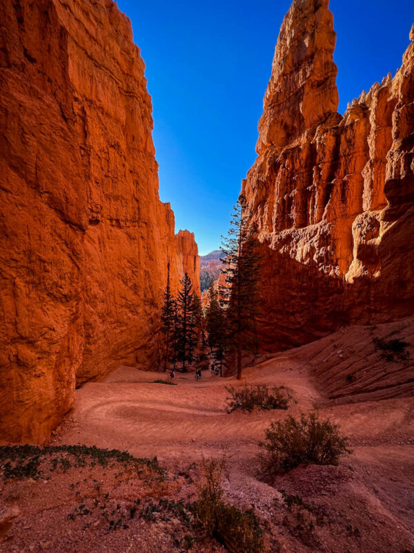
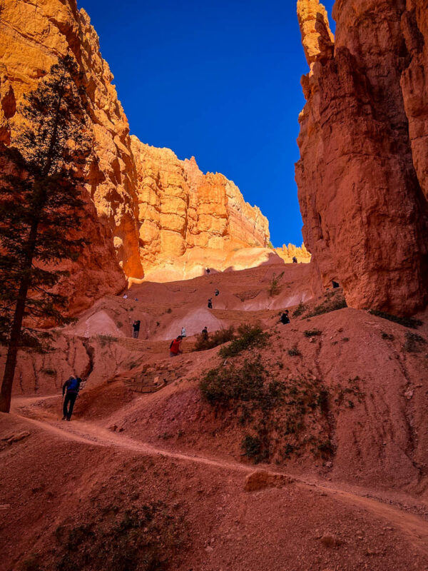
Start out on a paved trail with safety railings and shortly, you’ll come to a “T” where you choose to go left or right. Remember, it’s a loop trail, so you’ll walk both sections anyway.
When the Wall Street side of the trail is open in the summer and fall, we recommend hiking counter-clockwise (taking a right). This takes you down those famous steep switchbacks first, then through the towering, narrow slot canyon that comprises Wall Street itself.
Although descending this section is slightly more manageable than ascending it, you’ll have to climb up and out of the canyon no matter what. That’s one of the unique things about hiking in Bryce Canyon!
Tip: During the months when Wall Street is closed, go left (clockwise) on the trail, starting on Two Bridges. In this case, you’ll have to do the Two Bridges side of the trail as an out-and-back hike, rather than doing the full Navajo Loop.
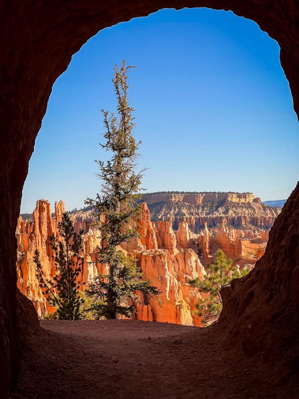
On the Wall Street stretch of the trail, don’t miss the Spur Trail on the Peak-a-boo Loop to the little arch window right after the path splits. It offers a great view of hoodoos and an adjacent canyon, plus a fun photo op.
Once you’re on the “main” Wall Street trail, navigate the deceptively steep switchbacks straight down to the canyon floor. Check out the two insanely tall trees at the bottom, towering over the trail. They’re over 750 years old!
On the canyon floor, the trail levels out some and guides you through the slot canyon before looping around and taking you up the other half, back toward Sunset Point.
Part II: Two Bridges
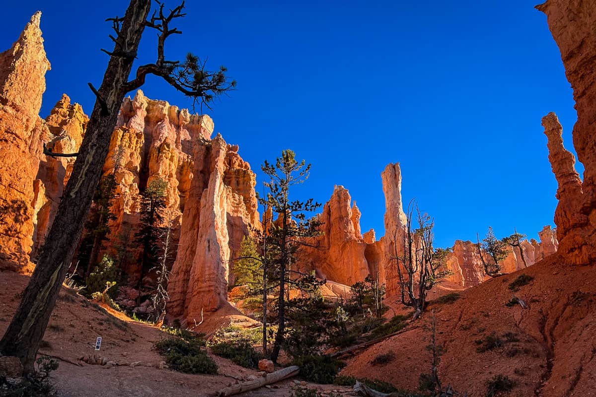
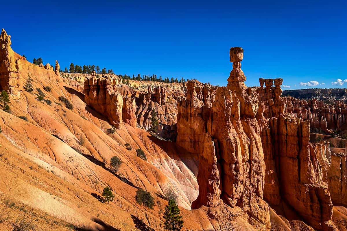
In the Two Bridges portion, you’ll walk right underneath and through the hoodoos. This section of the Navajo Loop Trail also shows off stunning views of Bryce Canyon’s signature formations, such as the Silent City and Thor’s Hammer.
Look for Two Bridges itself, on your right almost exactly one mile into the hike (assuming you started on the Wall Street side).
After passing Two Bridges, there’s one final push up another set of short but STEEP switchbacks. Thankfully, the trail is wide, so you can pull over and catch your breath without blocking anyone.
Optional: Navajo Loop-Queen’s Garden Loop
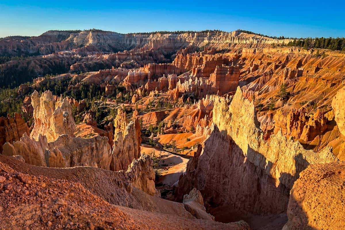
If you want to extend your hike, you can connect to the Queen’s Garden Trail to form a longer loop. This will increase your total distance to 2.9 miles, and you’ll finish at Sunrise Point, rather than Sunset Point. From there, it’s just an easy half-mile walk on a paved path between the two.
Note that if you opt for this extension, you’ll have to choose between the Wall Street or Two Bridges sections of Navajo Loop. The Queen’s Garden junction is right in the middle of the trail.
Tips for hiking the Navajo Loop Trail
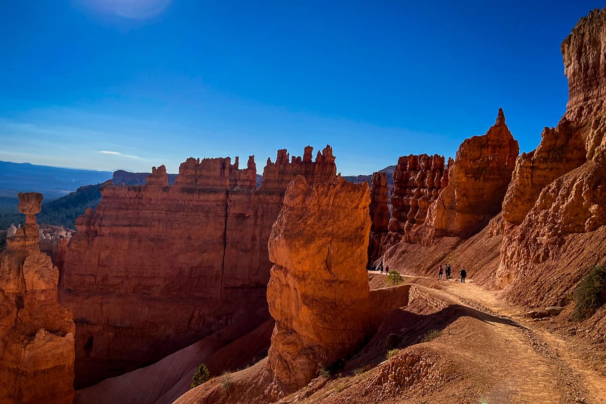
- Get an EARLY start. Navajo Loop and Queen’s Garden are the two most popular trails in the park, and they draw crowds year-round. By mid-morning, you can almost guarantee that Sunrise and Sunset Point will be crazy, so start as early as possible.
- Be mindful of altitude sickness. It’s easy to forget that Bryce Canyon sits at an elevation of between 8,000-9,000 feet. If you’re not used to hiking at high altitude, ease into it and drink LOTS of water.
- Wear layers. The trail has sections that are completely exposed, and others that are completely shaded by rock formations. Even in the peak of summer, you may get chilly at some points.
- Mid-day offers the best lighting in Wall Street. The slot canyon’s steep walls keep light out most other times, but you can capture interesting shadows and glow in the middle of the day.
- The park has a seasonal free shuttle. The Bryce Canyon Shuttle runs from April through mid-October, stopping at popular trails and overlooks in the Amphitheater area. Park at the Visitor Center or the shuttle stop in Bryce Canyon City, just outside the park.
- There are restrooms and water stations open year-round at Sunset Point.
Where to camp at Bryce Canyon National Park
Bryce Canyon has two excellent—and wildly popular—campgrounds. Both accommodate tents and RVs alike.
Sunset Campground is right across from the trailhead for Navajo Loop, open from April 15 through October 31. As of 2024, you can reserve sites here 14 days out between May 18 and October 14 (previously, Sunset was strictly first-come, first-served).
The North Campground, across from the park visitor center, is open year-round. Reservations are required between mid-May and early October, and it’s first-come, first-served the rest of the year. There are no hookups here, but there is a summer dump station.
We’ve also had luck finding great campsites just outside the National Park as well using The Dyrt app.
Try their Pro Membership for FREE and gain access to the offline version of the app, utilize their trip planning feature AND get exclusive discounts on campsites and gear!
What to pack for hiking the Navajo Loop Trail
- Navigation: we recommend using Alltrails+ to download the offline trail map
- Get your first week of using Alltrails+ for FREE when you sign up using our link!
- Hiking daypack
- Water bottles and/or bladder for your Camelbak
- Bug repellant
- Sun protection: sunscreen, hat, sun glasses
- Headlamp (if hiking for sunrise or sunset)
- Camera/tripod (this one’s our favorite for hiking)
- Lots of layers (here is a great resource if you’re wondering what to wear hiking)
- Rain jacket (check the weather beforehand!)
- Comfortable hiking boots or shoes
- Hiking poles (optional)
- Plenty of snacks: check out our favorite hiking snacks here!
Be sure to grab our ultimate hiking packing list includes our must-have gear for any hiking trail!

You may also like…
- Best Hikes in Bryce Canyon National Park
- Cool Utah Slot Canyons You Can Hike Through
- USA National Park Checklist & Guide
- Ultimate Zion to Bryce Canyon National Park Road Trip Itinerary
Save this article on Pinterest for later!
We want to hear from you!
Have you done the Navajo Loop trail in Bryce Canyon? What was your experience like? Are you planning a trip to Bryce Canyon National Park and want more advice? Comment below and let us know!

