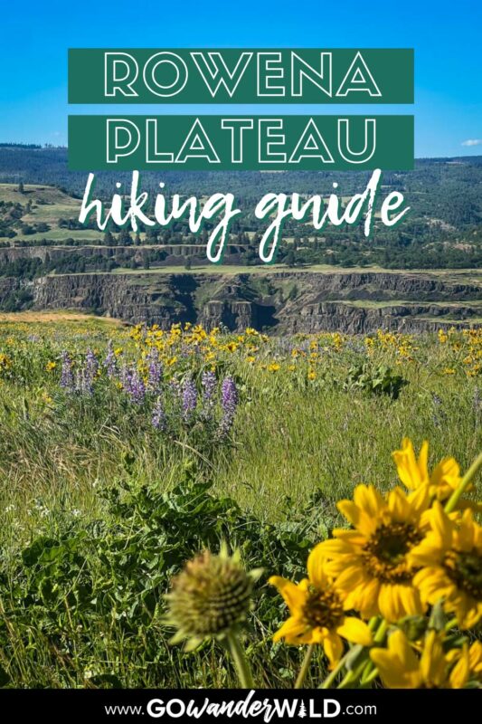
With colorful wildflower fields, sweeping Columbia River Gorge views, and a location just over one hour from Portland, the Rowena Plateau trail deserves a spot on your Oregon bucket list. In this guide, we share everything you need to know to hike the Rowena Plateau.
In the Columbia River Gorge, where epic waterfall hikes are the norm, the Rowena Plateau Trail stands out.
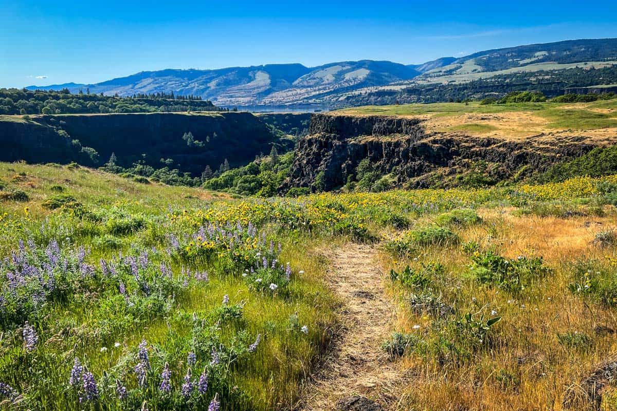
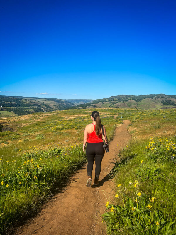
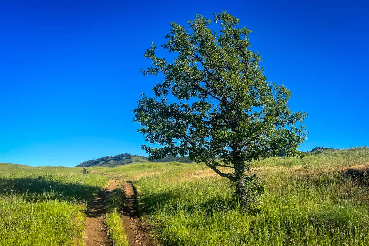
On this easy 2-mile trek, you hike out in the open along the top of the gorge, rather than down in the bottom of a canyon. And if you time your hike just right, you will very literally walk among the wildflowers every step of the way.
Barely an hour’s drive from Portland, you can also easily pair the Rowena Plateau Trail with a trip to nearby Hood River (spring wildflower season just so happens to line up perfectly with the orchard blossom!).
Rowena Plateau Trail Guide
We’ve included some extra info for planning your Rowena Plateau hike. Jump to the following sections (or just keep scrolling to see it all!).
- Rowena Plateau trail stats
- Rowena Plateau trail map
- Hike overview
- Know before you go
- The route
- Tips for hiking Rowena Plateau trail
- Where to camp
- What to pack

Rowena Plateau trail stats
- Location: Tom McCall Preserve, near the small town of Mosier and about 20 minutes from Hood River
- Distance: 2.1 to 2.4-mile loop
- Elevation gain: 260 feet
- Difficulty rating: Easy
- Timing: 1-1.5 hours
- Pets: not allowed
- Permits: none required
- View the trail notes
Rowena Plateau trail map
Rowena Plateau hike overview
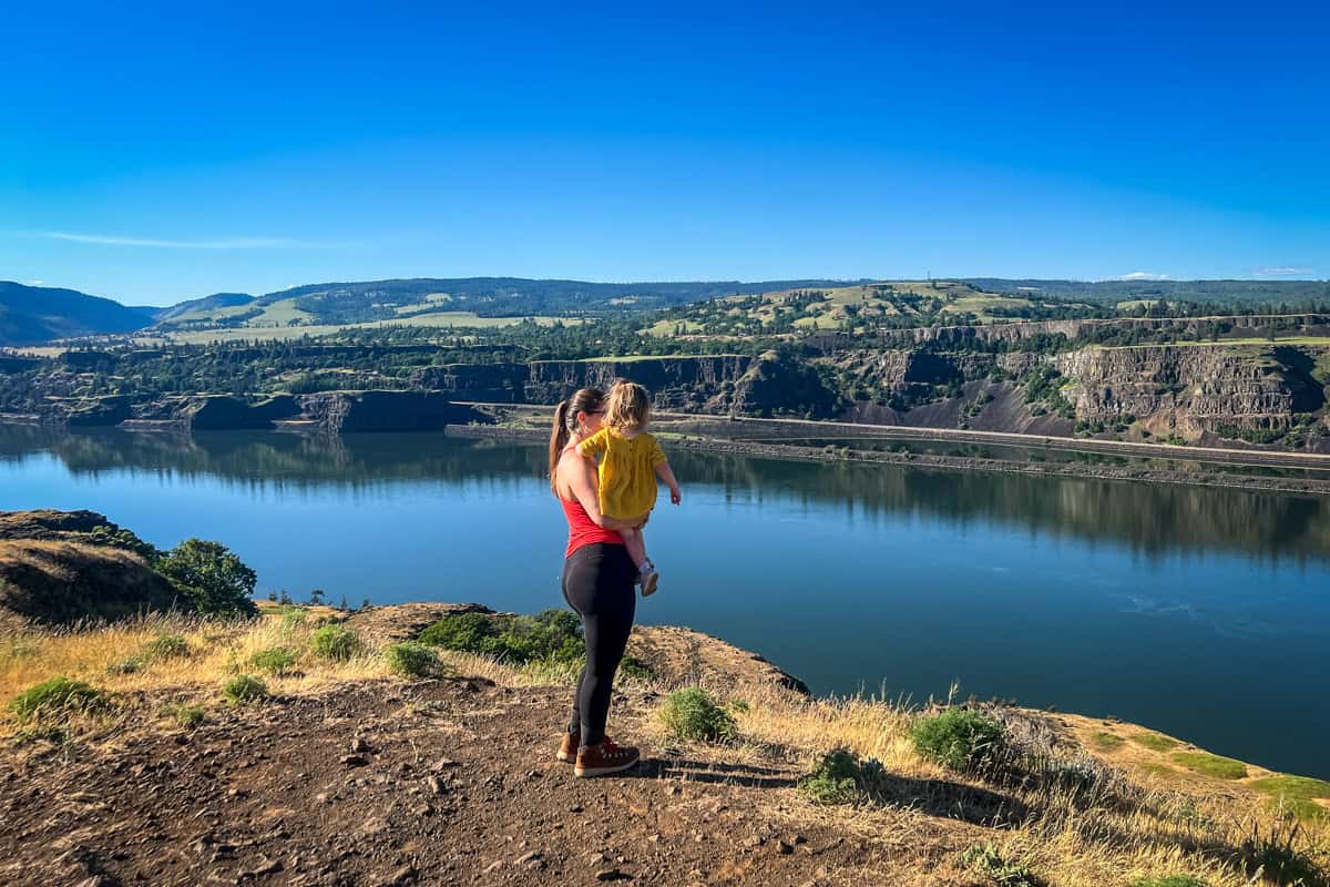
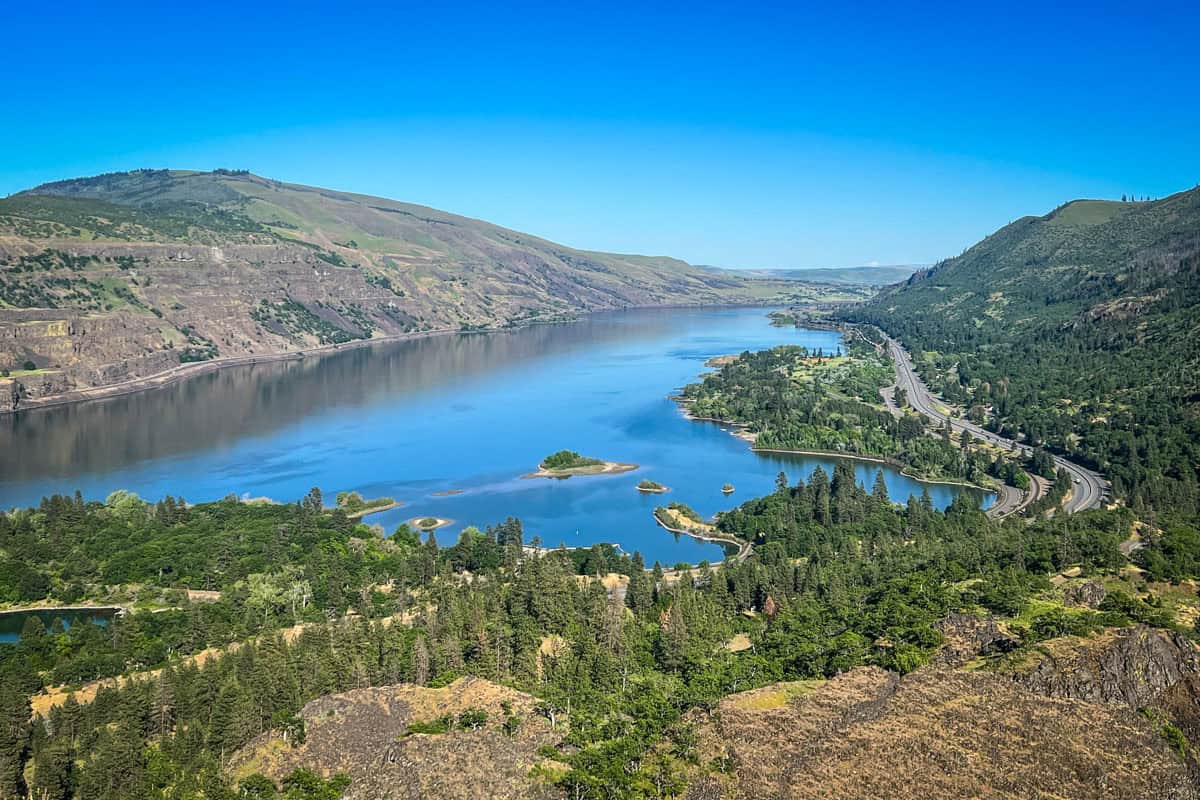
Unlike so many Oregon hikes where you hike inside canyon walls, on the Rowena Plateau trail, you hike along the top of the Columbia River Gorge (as its name implies!). This means you get sweeping views the entire way, including from the famed Rowena Crest Viewpoint.
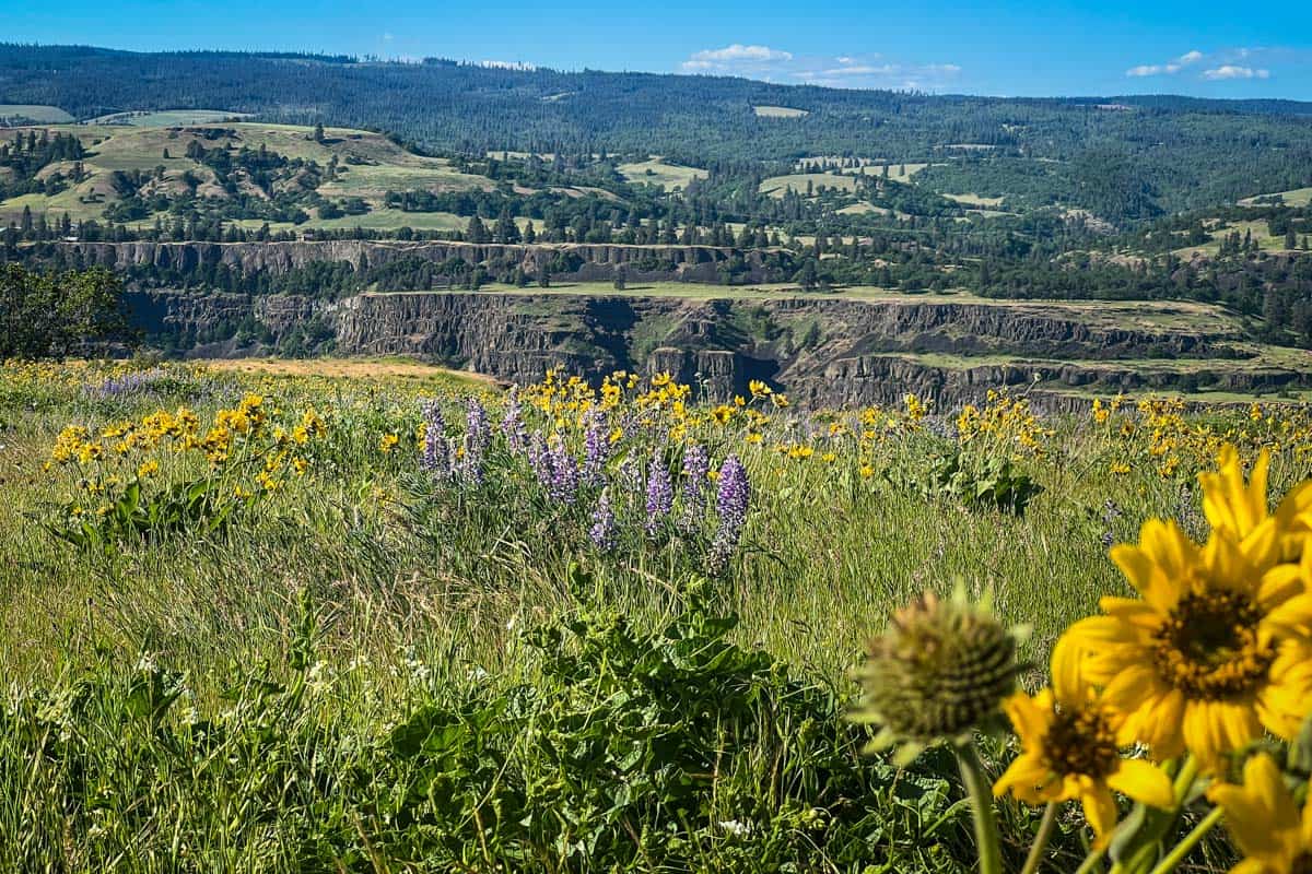
Several viewpoints on the trail highlight the area’s fascinating geology. The vast river gorge, the thousands of layers in the cliffs, and even the wildflowers are all the result of millions of years of volcanic outflow, Ice Age flooding, and landslides.
Despite being so accessible and short, this rugged landscape with such striking contrasts makes the Rowena Plateau trail feel a bit remote and untamed.
Almost in direct opposition to that wildness, the plateau is one of the earliest places wildflowers bloom in the gorge, because of the full sun exposure. It’s an understandably popular spring destination, but even when it’s busier than normal, it doesn’t feel too crowded.
To actually get off the beaten path, add on the Tom McCall Point trail for a slightly longer hike that’s even more scenic.
Things to know before you go
Before you hit the Rowena Plateau trail, there are several things you should know and take into consideration.
Best time of year for hiking the Rowena Plateau trail
Without hesitation, the best time to hike the Rowena Plateau trail is late spring into early summer…wildflower season!
Weather and rainfall amounts shift the exact timeframe each year, but in general, wildflowers (specifically yellow balsamroot and purple lupine) start to really pop in this area in mid to late April.
The wildflower season is extremely short, sometimes only a few weeks. Luckily, websites like Oregon Wildflowers use live-time reports from hikers to give up-to-date statuses around the state.
Although springtime is definitely the ‘best,’ the Rowena Plateau is beautiful in every season. Because it gets so windy, we recommend avoiding it in both extreme cold and heat, but otherwise, every season on the trail has a unique appeal.
How long does it take to hike the Rowena Plateau trail?
One of the best things about the Rowena Plateau trail is that it’s short and sweet—you can hike the entire thing in about one hour. Keep in mind that your individual hiking pace, along with how much time you spend taking pictures or admiring the view, may make that slightly longer.
How difficult is the Rowena Plateau trail?
The Rowena Plateau hike is truly easy, with very little elevation gain and a wide, well-beaten path to follow. There may be some rocky, uneven spots on the trail, but otherwise, it’s very straightforward.
For most people, the most challenging part of this hike is the exposure to cliff edges. Although the trail doesn’t generally run super close to the edge, there are no guardrails or anything else to prevent a fall. Just keep a safe distance and you’ll be absolutely fine.
If you plan to hike Tom McCall Point, that trail is a bit more strenuous. Still not technical or particularly difficult, but it gains over 1,000 feet of elevation in just over 1.5 miles.
The route
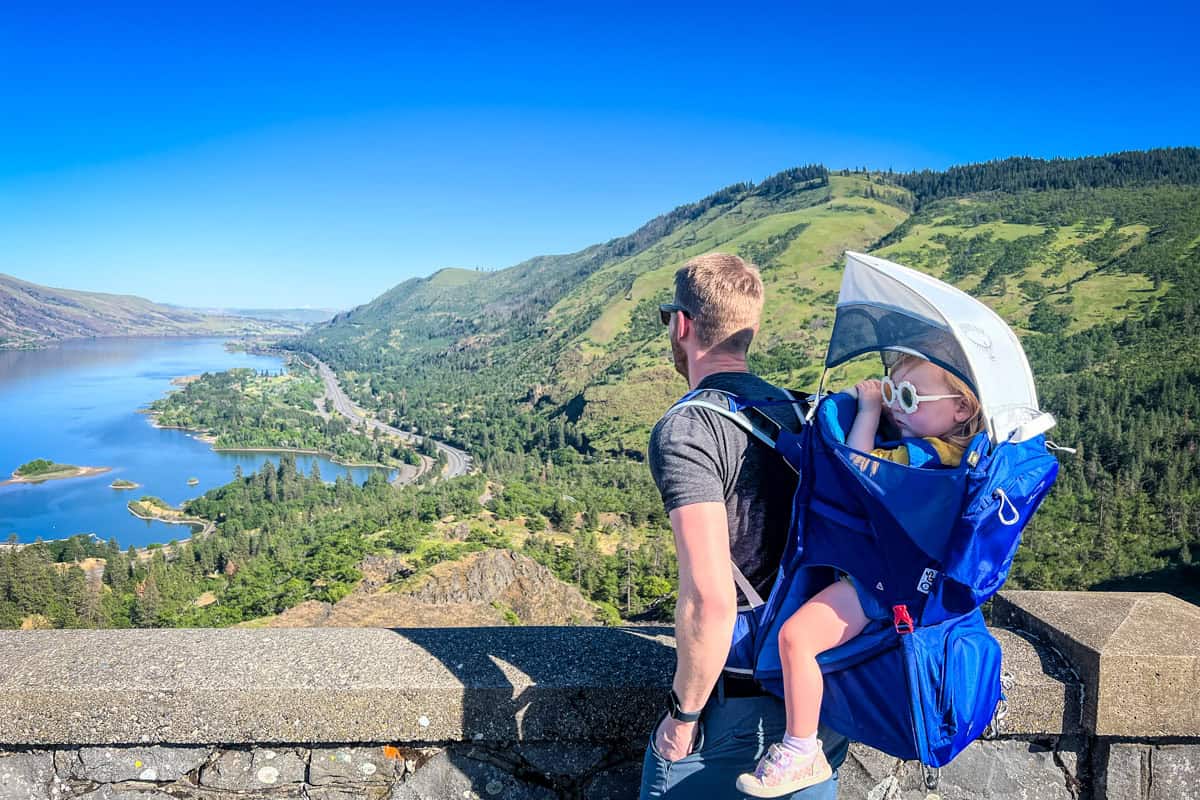
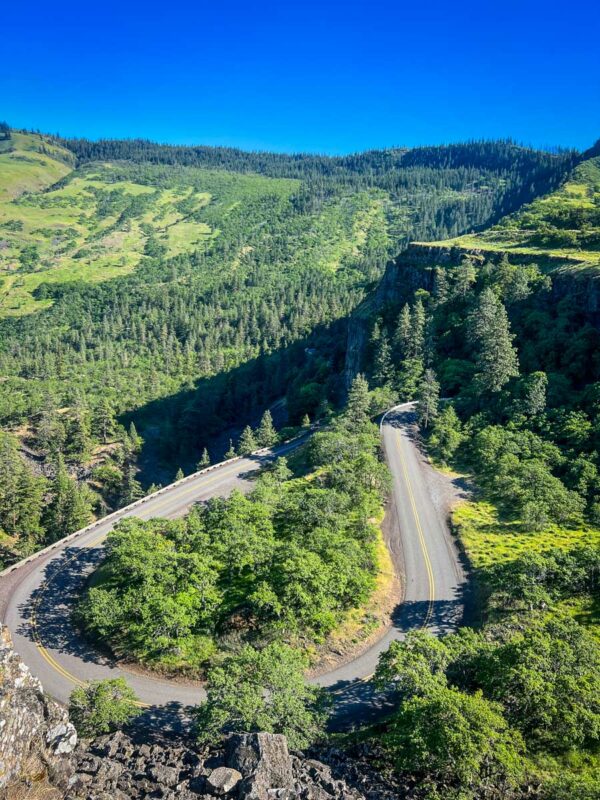
Your adventure actually starts before you even hit the Rowena Plateau trail. Stop at the famous Rowena Crest Viewpoint on your way to the trailhead, a stone’s throw from the Tom McCall Nature Preserve boundary.
You can park right along the road near the viewpoint and then drive just a bit further down the road to the trailhead lot, or park at the trailhead and then walk back up to take in the views.
Directly below Rowena Crest is the most famous stretch of Highway 30 (aka the Historic Columbia River Highway), so it’s well worth a few minutes.
Rowena Plateau trail
To get on the Rowena Plateau trail, you actually need to (carefully!) cross the highway. Just follow the signs; the trailhead is well-marked.
After cleaning your shoes at the boot cleaning station to ensure you don’t accidentally track in any foreign seeds, the trail leads you straight toward the cliffs.
0.25 miles in, you’ll encounter a trail junction with Shasha Loop. A right here takes you on a short detour, a 0.3-mile loop that reconnects with the main Rowena Plateau trail. While it doesn’t change much in terms of scenery, the detour does lead you closer to the cliff edges.
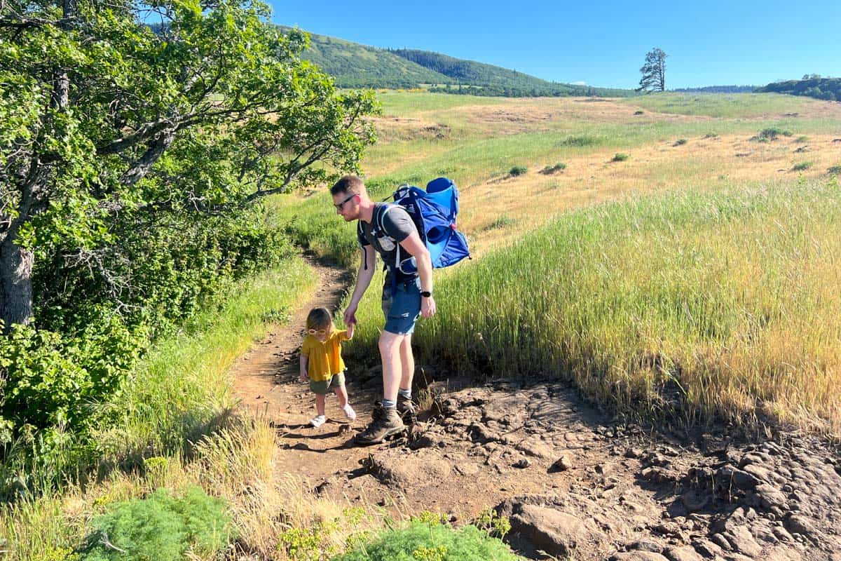
If you’re afraid of heights or have very young children, you may want to skip the loop and stay on the main trail by keeping to the left.
Kolk ponds and their inhabitants
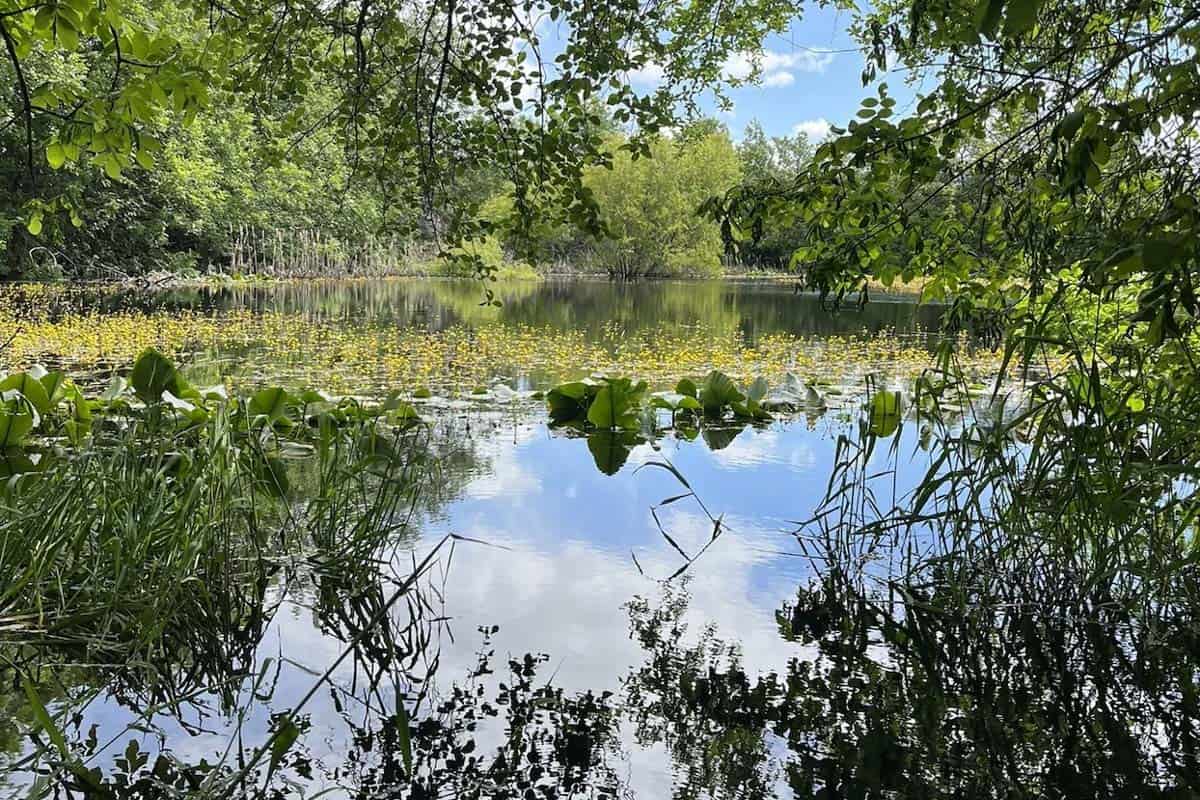
Whether you take the main trail or the loop detour, you’ll soon come to the first of two ponds. Technically, they’re not ponds at all, but rather kolk ponds, water-collecting depressions in the plateau’s surface created by the wild flooding we mentioned earlier.
Be especially careful near the ponds, as all sorts of not-so-nice things thrive in their moisture. Most notable among them are poison oak and ticks. Just stick to the main trail, well away from both the moisture pockets and tall grasses, and you shouldn’t have any issues.
The main trail can get a bit tricky to follow around the two ponds. If you’re in doubt, keep in mind that the ‘real’ trail is the one furthest away from the cliff edges.
You’ll also pass the second kolk pond. If you’re on the main trail, it’ll be on your right. If it’s on your left, you’re still on a secondary loop section. From there, the end of the trail is straight ahead about half a mile.
There’s no question about when you reach the end of the Rowena Plateau hike. The trail leads you to a peninsula-like viewpoint and you’ll have tremendous, wide-open views of the gorge in both directions.
Tom McCall Point trail
If you’re up for a longer, slightly more challenging hike, hop on the McCall Point trail when you get back to the parking lot at Rowena Crest.
The 3.4-mile out-and-back hike (which AllTrails mistakenly lists as 4.8 miles) gains 1,030 feet in just over 1.5 miles. It starts heading uphill immediately and you’ll tackle several switchbacks, but the outstanding views make it well worth it.
In addition to the wildflower-covered hillsides, on clear days, you’ll see Mount Hood and Mount Adams near the summit.
Note that the McCall Point trail closes in the winter from November 1 through March 1. Also, due to the slightly higher elevation, the wildflower bloom generally starts a couple of weeks later than on the plateau.
Tips for hiking Rowena Plateau trail
- It’s typically VERY windy in the Gorge. Even in the summer, bring a windbreaker, snug-fitting hat, and gloves.
- There are no restrooms or other facilities at the trailhead. Luckily, nearby Mayer State Park (an 8-minute drive) has bathrooms. Note that you’ll need to pay a $5 day-use fee.
- Beware of poison oak. It THRIVES at the top of the plateau, especially around the ponds where there’s quite a bit of moisture. Familiarize yourself with what it looks like (the leaves can be many colors) and avoid touching any plants.
- …and ticks and rattlesnakes. The combination of tall grasses and pockets of both shade and moisture make this prime habitat for these critters. Keep your eyes and ears open, avoid touching plants, and consider wearing closed-toe shoes and long pants.
- Wear sun protection, even on chilly days. The entire trail is exposed, so you’ll want sunscreen and a wide-brimmed hat at the very minimum.
- Do not pick or trample the wildflowers. This should go without saying, but the preserve is a fragile ecosystem, so please use extra caution to make sure others can enjoy the wildflowers, too.
- The Tom McCall trail closes in the winter. The Rowena Plateau trail remains open all year, but this is good to know if you want to hike both.
Where to camp nearby
Unfortunately, there isn’t much in the way of camping along the Columbia River Gorge. There are a few options, but far fewer than in other parts of Oregon.
The closest option is Memaloose State Park, just a six-minute drive from the Rowena Plateau trailhead. This developed campground has over 100 sites, some with full hookups, along with hot showers and a dump station. It closes from November through mid-March.
If you’re the adventurous camping type, you can also find dispersed camping in the Mount Hood National Forest. Most of these sites are 1.5-2 hours from the trail, but keep in mind that there is a TON to explore in this general area, including countless waterfalls and Hood River.
What to pack for hiking Rowena Plateau trail
- Navigation: we recommend using Alltrails+ to download the offline trail map
- Get your first week of using Alltrails+ for FREE when you sign up using our link!
- Hiking daypack
- Water bottles and/or bladder for your Camelbak
- Bug repellant
- Sun protection: sunscreen, hat, sun glasses
- Camera/tripod (this one’s our favorite for hiking)
- Hiking layers (here is a great resource if you’re wondering what to wear hiking)
- Rain jacket (if chance of rain)
- Comfortable hiking boots or shoes
- Hiking poles (optional)
- Plenty of snacks: check out our favorite hiking snacks here!
Be sure to download our FREE hiking packing list before your next trip and never leave another essential behind again!
You may also like…
- Spectacular Columbia River Gorge Waterfalls
- Multnomah Falls: Columbia River Gorge Trail Guide
- Wahclella Falls: Columbia River Gorge Trail Guide
- Bucket List Worthy Mount Hood Hikes
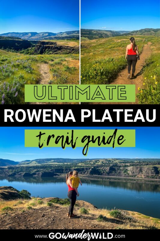
Save this article on Pinterest for later!
We want to hear from you!
Have you hiked the Rowena Plateau trail? What was your experience like? Do you have more questions about planning your hike? Comment below and let us know!