We believe Capitol Reef National Park is the most underrated park in Utah. Use this guide to the best hikes in Capitol Reef to help you fill your itinerary with the most scenic trails.
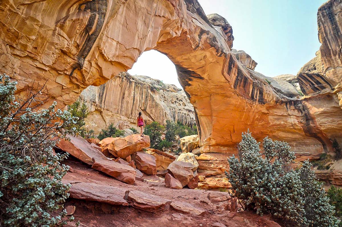
Capitol Reef National Park is a fascinating 100-mile wrinkle in the Earth’s crust that serves as one of the main geological wonders in south-central Utah. Dramatic cliff sides, narrow canyons, domes, and bridges all make up the park’s main attraction: the Waterpocket Fold.
Capitol Reef National Park is drastically outshined by all of the other national parks in Utah, giving you that “off the beaten path” feel as you explore the beautiful trails and rich history.
In this round up of the best hikes in Capitol Reef, you’ll discover all the unique geological features of the Waterpocket Fold and some of the best viewpoints in the park.
We’ve included trails for all levels on this list. From hiking among the Fruita orchards to the quiet slot canyons in the south end of the park, you’ll find the perfect list of trails to cross off your bucket list as you plan your visit to Capitol Reef.
Best time to visit Capitol Reef National Park
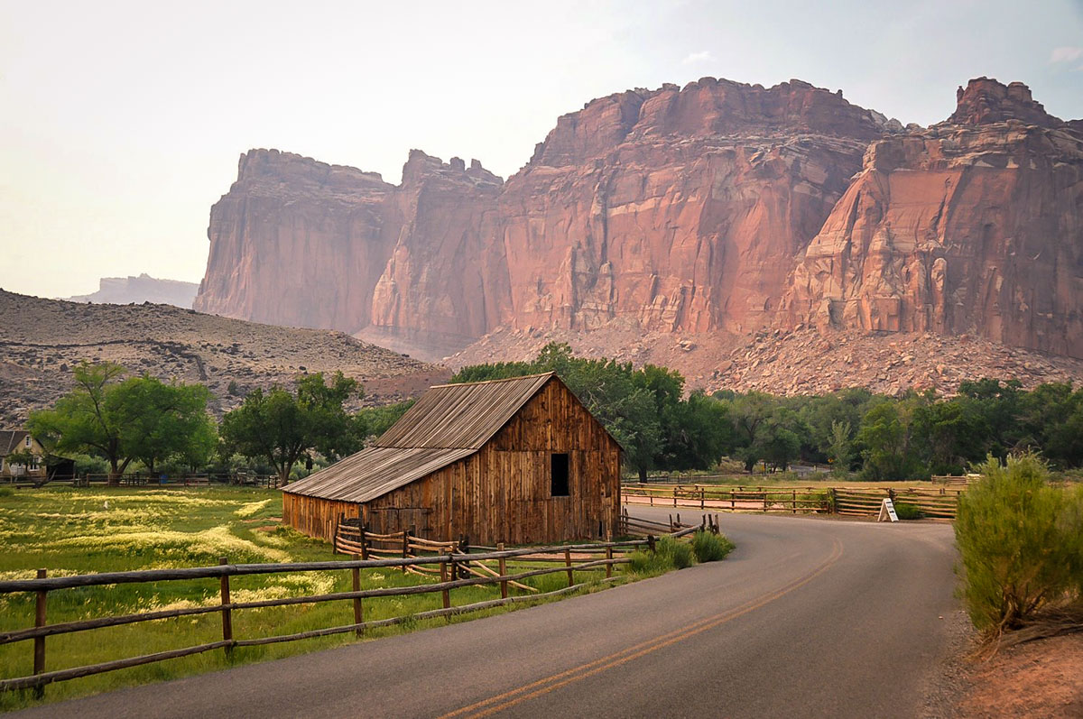
To get the most out of your trip, the best time to visit and go hiking in the park is from May to October when the weather is optimal and all the trails are accessible.
Since Capitol Reef is the least-visited park in Utah, you won’t run into a huge amount of crowds here no matter the season. Yes, even in the summer! In fact, summer is one of our favorite times to visit Capitol Reef because the Fruita orchards are in full bloom and temperatures rarely climb above 100°F.
Fall is a great time to visit Capitol Reef since the weather is mild and crowds thin out. This time of year you can expect a bountiful fall harvest in the orchards with plums, peaches, apples, and pears.
Springtime in the desert is tricky since the weather can change rapidly and the temperatures hang around the 40s even during the day, but as long as you plan and pack accordingly, you’ll have an amazing visit.
Winter in Capitol Reef is quiet, but snow and ice can cause a variety of trails and roads to close. So you may want to reconsider visiting in the winter if you plan to do a lot of hiking in Capitol Reef. However it is a beautiful time to visit and see the dramatic desert scenery blanketed in white snow.
America the Beautiful Annual Park Pass

If you’re planning to visit more than one of Utah’s “Mighty 5” National Parks, we’d highly encourage you to look into getting an annual park pass. At $35 per vehicle, entering Zion, along with most other national parks in the U.S., can be expensive.
For just $80 per year, you can purchase the America the Beautiful park pass. This pass grants you free access to all of the national parks. Plus it also covers your entrance to over 2,000 natural, historical, and recreational sites across the United States.
→ If you still need convincing, check out our article: America the Beautiful Annual Park Pass: Is it Worthwhile?

Best day hikes in Capitol Reef National Park
There are plenty of hikes to choose from in this off-the-beaten-path national park, but here are some of the top single-day trails to put on your itinerary for Capitol Reef.
1. Cassidy Arch Trail
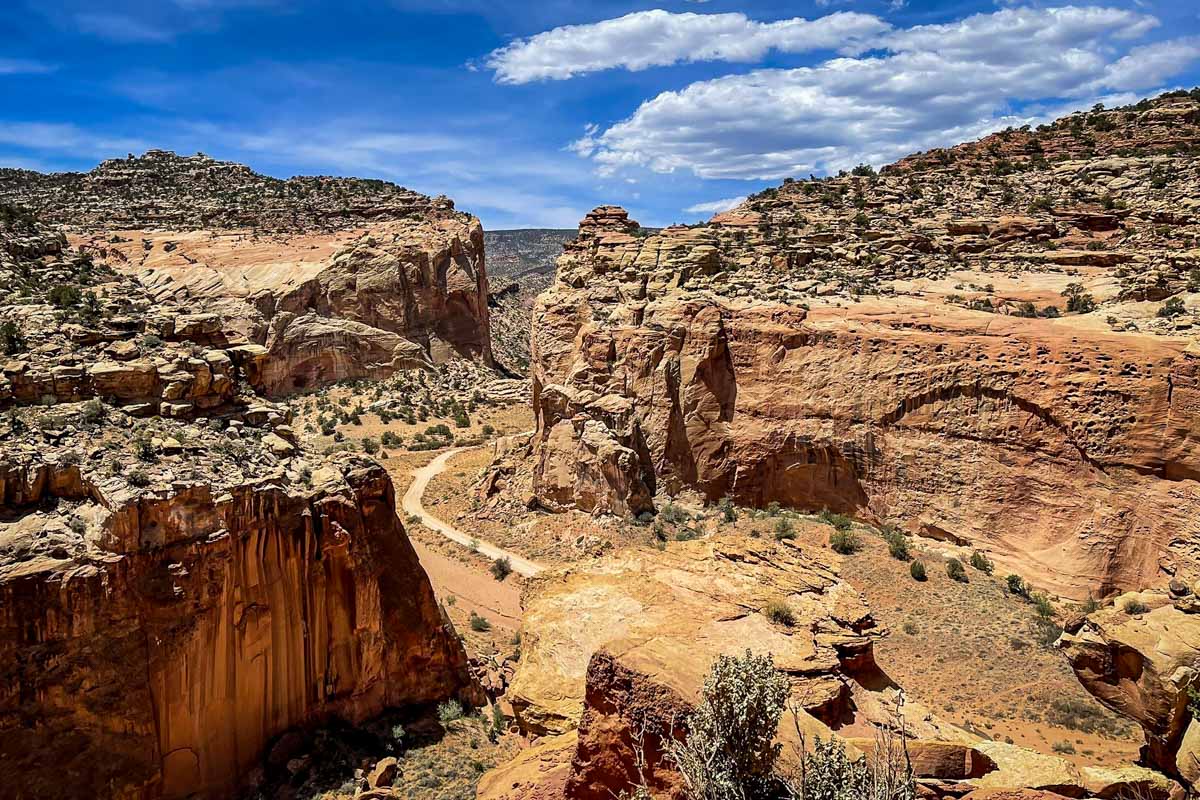
- Distance: 3.1 miles, out-and-back
- Elevation: 666 ft
- Difficulty Rating: Moderate
- View the trail notes
Cassidy Arch is one of the most popular hikes in Capitol Reef that takes you up a steep ascent of sandstone to discover an arch that eroded into a 400-foot cliffside. This beginning of this trail is straightforward and well marked, but is primitive once you reach the top of the rock-chiseled stairs.
How to get there: Take the Capitol Reef Scenic Drive past the Fruita Campground, then follow Grand Wash Road to the parking area.
2. Hickman Bridge Trail

- Distance: 1.7 miles, out-and-back
- Elevation: 416 ft
- Difficulty Rating: Moderate
- View the trail notes
The Hickman Bridge Trail features a variety of different geological and historical formations that will fascinate you about the history of the park.
Grab a brochure at the trailhead and while you hike, look for 17 different points that showcase the remnants of the Fremont people that occupied this area from 300-1400 C.E.. At the end, discover the natural bridge that soars almost 300-feet above the Fremont River.
How to get there: Head east on Highway 24 from Fruita and the trailhead is on the left.
3. Rim Overlook Trail
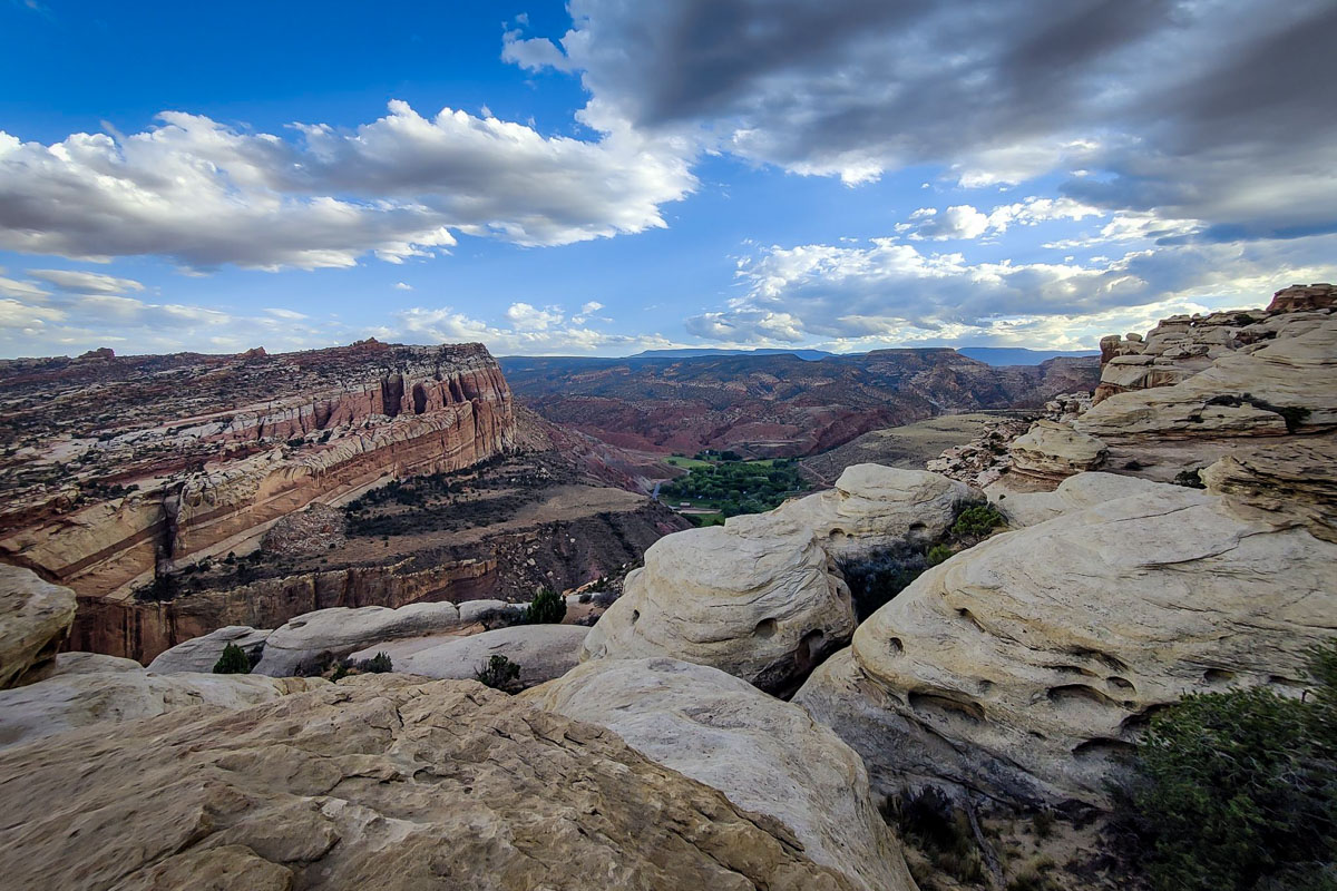
- Distance: 4.1 miles, out-and-back
- Elevation: 1,053 ft
- Difficulty Rating: Moderate
- View the trail notes
With sweeping vistas of Fruita and the Captiol Reef National Park skyline, the Rim Overlook Trail offers one of the best views in the park. At the top, you can see the wrinkles of the waterpocket fold and the quaint town of Fruita nestled between Sandstone cliffs.
How to get there: Head east on Highway 24 from Fruita and the trailhead is on the left. Note this is the same trailhead as the Hickman Bridge Trail, but follows a different route.
4. Capitol Gorge Trail
- Distance: 4.5 miles, out-and-back
- Elevation: 374 ft
- Difficulty Rating: Moderate
- View the trail notes
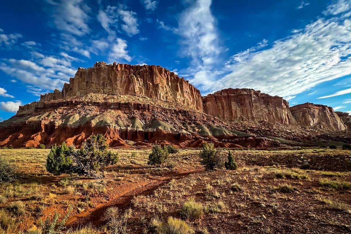
Hike down a gorge and through narrow walls of sandstone to discover petrogylphs and a pioneer register with signed names dating from the late 1800s through the early 1900s. Just before you arrive at the register, you can add to your adventure and take the spur trail to the tanks, a series of large potholes with reflective pools of water.
How to get there: Head east on Highway 24 from Fruita and turn left on Notom-Bullfrog Road. Follow this road to Notom-Bench Road to arrive at the trailhead. There are a handful of different trailheads off this road, so make sure you have a map downloaded.
Psst! Have more time? Be sure to check out all the best hikes in Utah before your trip comes to an end!
5. Capitol Reef Petroglyphs Trail
- Distance: 0.3 miles, out-and-back
- Elevation: 49 ft
- Difficulty Rating: Easy
- View the trail notes
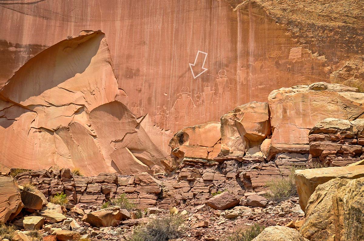
Follow the shortest and easiest hike in Capitol Reef to see anthropomorphic and geometric petroglyphs. The etchings aren’t labeled along the route, so make sure you keep your eyes peeled along the boardwalk to see the stories and symbols of the original indengeous peoples of Capitol Reef.
How to get there: Find the trailhead along Highway 24, just past the Historic Fruita School on the left.
6. Grand Wash Trail
- Distance: 5 miles, out-and-back
- Elevation: 341 ft
- Difficulty Rating: Easy
- View the trail notes
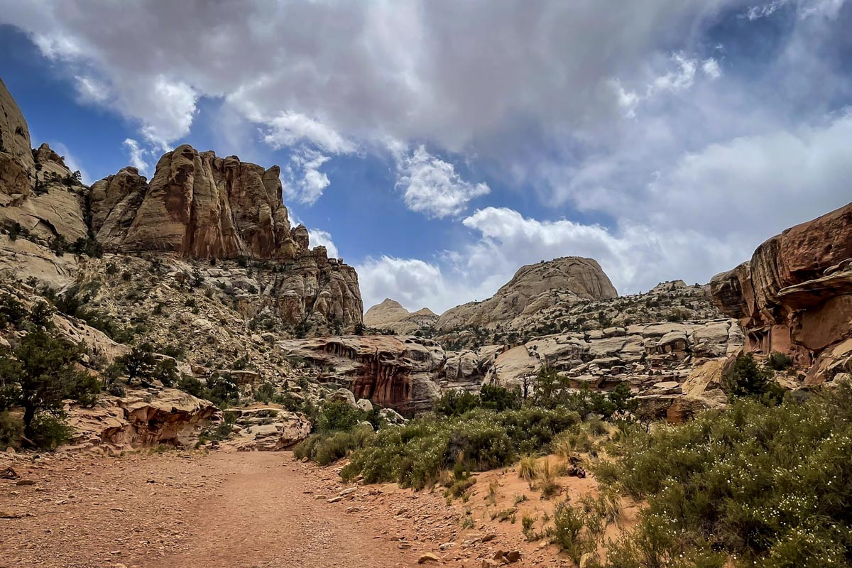
Nicknamed “the Narrows” of Capitol Reef, this scenic day hike takes you through a dry wash surrounded by towering sandstone walls.
If you’re limited on time and want to squeeze in as many of the best hikes in Capitol Reef as you can, you can hike to the narrowest portion, labeled “the Narrows” on the map in the trail notes, and then heading back the way you came.
How to get there: Turn right on the Capitol Reef Scenic Drive from the Fruita Campground and follow that to Grand Wash Road. Follow Grand Wash to the small parking area at the end. Note this trail can be accessed from Highway 24 or inside the park from Grand Wash Road.
7. Fremont River Trail
- Distance: 2.1 miles, out-and-back
- Elevation: 410 ft
- Difficulty Rating: Moderate
- View the trail notes
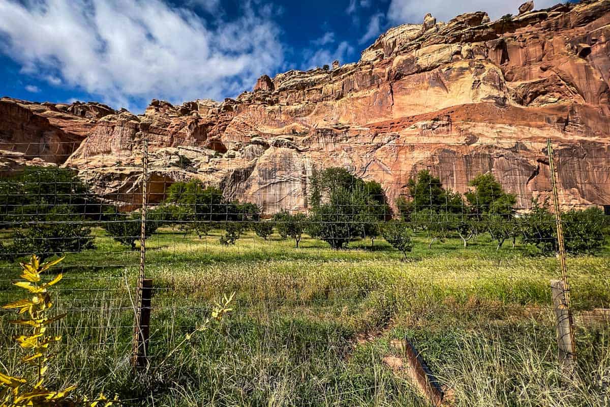
The Fremont River Trail takes you through historic Fruita and its beautiful orchards. Enjoy the flat trail that follows the river and climb up to see panoramic views over the area. Don’t forget to stop by the Gifford House for a celebratory pie before arriving back to the trailhead.
How to get there: From the Capitol Reef Visitor Center, follow the scenic drive road and park just past the Johnson Orchard.
8. Sulphur Creek Trail
- Distance: 5.8 miles, point-to-point
- Elevation: 410 ft
- Difficulty Rating: Moderate
- View the trail notes
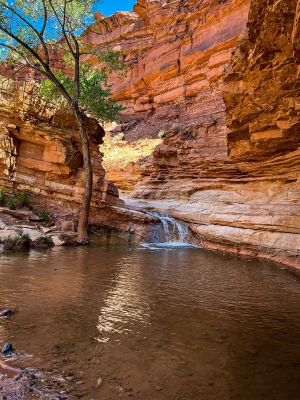
Walk along carved Navajo Sandstone through Sulphur Creek to discover a water oasis with a mini waterfall. Most hikers complete this as a point-to-point trail, but if you don’t have cars that can shuttle you back to the trailhead, you can complete this as an out-and-back trail.
How to get there: Find the trailhead for the Sulphur Creek Trail at the Capitol Reef National Park Visitor Center.
9. Chimney Rock Loop Trail
- Distance: 3.3 miles, loop
- Elevation: 793 ft
- Difficulty Rating: Moderate
- View the trail notes
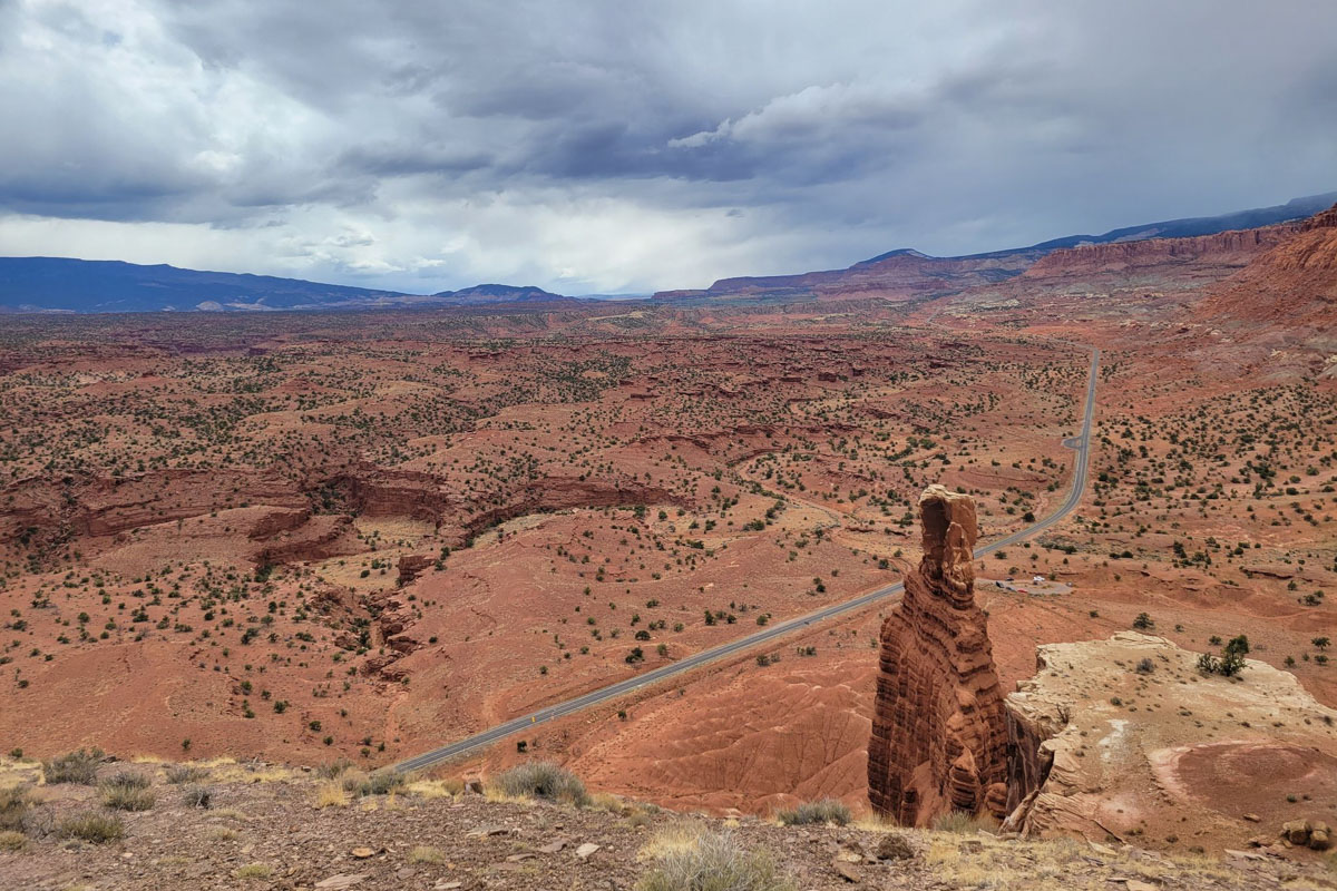
The Chimney Rock Loop Trail offers some of the best views of Capitol Reef’s iconic waterpocket fold. The hike starts with steep switchbacks for the first quarter-mile of the trail and then the trail flattens out along the mesa. Continue on the trail and follow the loop back to the trailhead.
How to get there: The Chimney Rock Trailhead is found along Highway 24, just past the turnout for the Panorama Point Overlook.
10. Goosenecks & Sunset Point Trail
- Distance: 2.5 miles, out-and-back
- Elevation: 544 ft
- Difficulty Rating: Easy
- View the trail notes
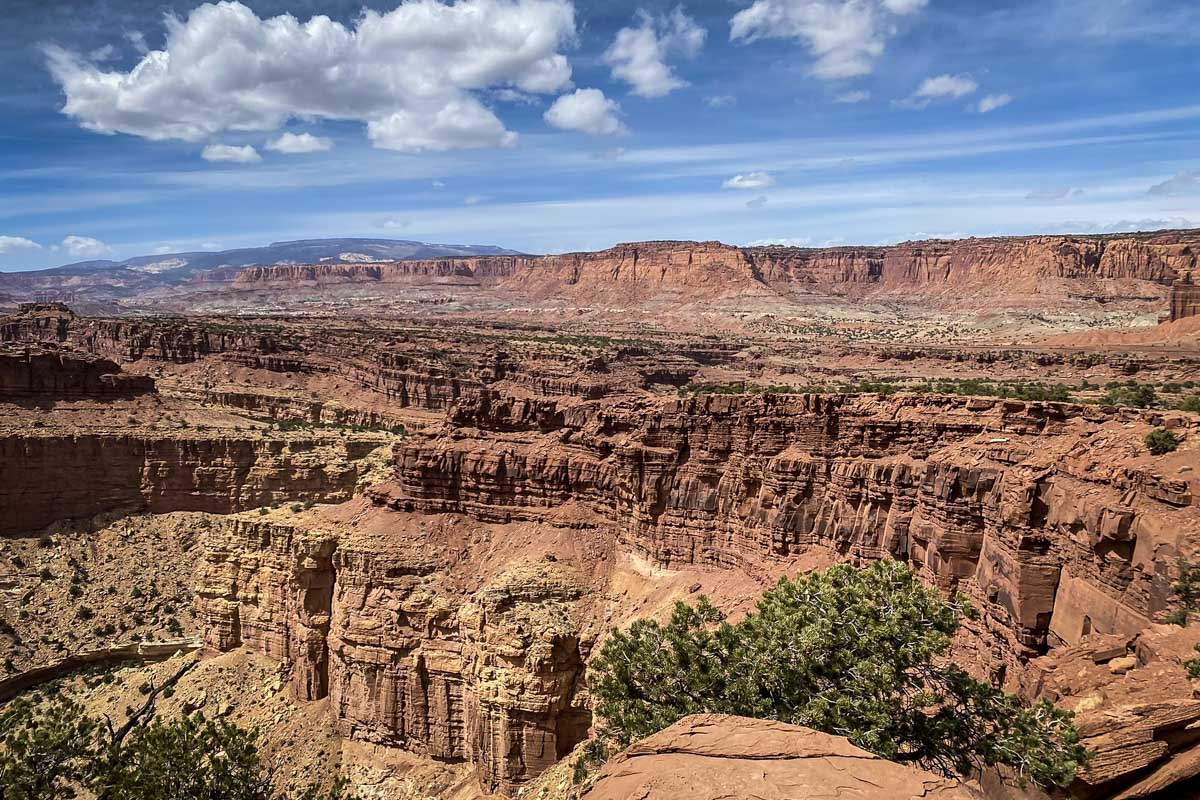
This short and sweet hike is one of the best hikes in Capitol Reef for watching the sunset, but the views can be enjoyed any time of day. Make your way past Panorama Point, and hike to the edge of the mesa to see Sulphur Creek carving through rock hundreds of feet below.
How to get there: Head west out of Fruita and look for the turnout for Panorama Point on the left hand side.
11. Navajo Knobs Trail
- Distance: 9.1 miles, out-and-back
- Elevation: 2,139 ft
- Difficulty Rating: Challenging
- View the trail notes
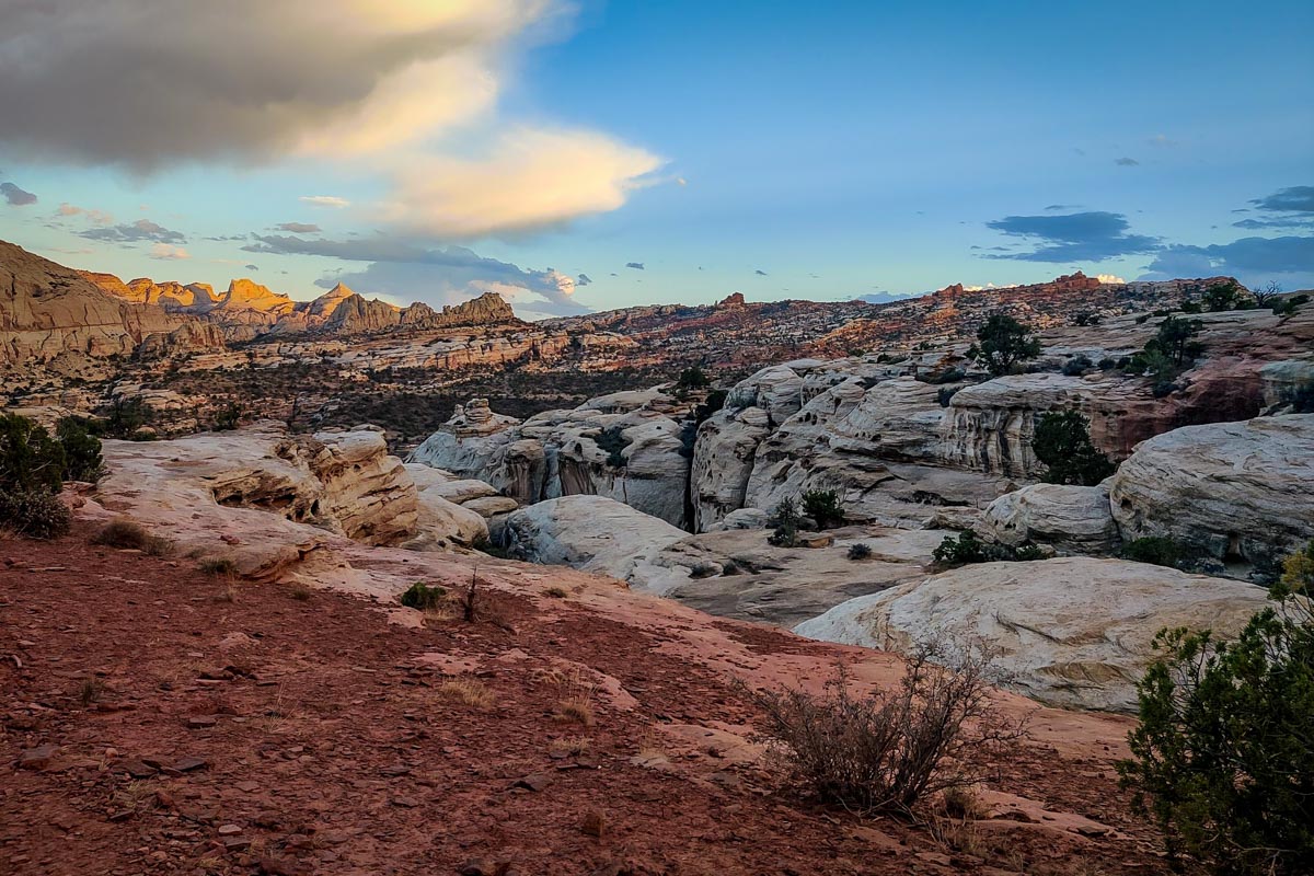
Explore this extended version of the Rim Overlook Trail to discover the most scenic viewpoint in Capitol Reef, on top of the Navajo Knobs geological formation. This is one of the toughest, but best hikes in Capitol Reef for it’s sweeping, 360-degree views over Fruita, Highway 24, the Waterpocket Fold, and Castle Rock.
How to get there: Find the Navajo Knobs Trailhead along Highway 24, just a few miles east of Fruita.
12. Cohab Canyon Trail
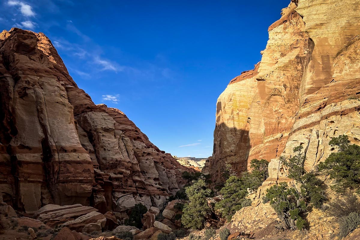
- Distance: 3 miles,out-and-back
- Elevation: 793 ft
- Difficulty Rating: Moderate
- View the trail notes
Cohab Canyon offers some of the best aerial views of the town of Fruita. Follow the canyon then take two optional spur trails to the North and South Viewpoints to see sweeping vistas and the stark contrast of the vibrant Fruita orchards against the desert landscape.
How to get there: From the Capitol Reef Visitor Center, head down the scenic drive and find the trailhead just past the Gifford Barn.
13. Panorama Point Trail
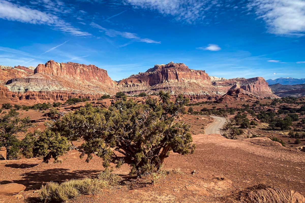
- Distance: 0.3 miles, loop
- Elevation: 29 ft
- Difficulty Rating: Easy
- View the trail notes
This scenic viewpoint is at the end of a small spur trail accessed via the Goosenecks & Sunset Point Trail. The hike is straightforward and easy, so we recommended adding it to the other two viewpoints to get three amazing views packed into one hike.
How to get there: Make your way down Highway 24 westbound and find the turnout just before Chimney Rock.
14. Cathedrals Trail
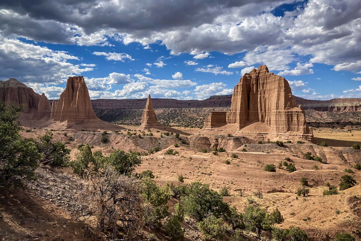
- Distance: 2.5 miles, out-and-back
- Elevation: 324 ft
- Difficulty Rating: Easy
- View the trail notes
Cathedral Valley is one of the most beautiful areas of Capitol Reef National Park. Hike along a low ridgeline that parallels massive sandstone monoliths to see aerial views of Temple of the Sun and Moon.
How to get there: In order to reach this trailhead, good weather and a high clearance, 4×4 vehicle are required. You’ll head east out of Fruita towards Caineville, then make a left on Cathedral Valley Road. Follow this road for 32-miles.
15. Lower Cathedral Valley Trail
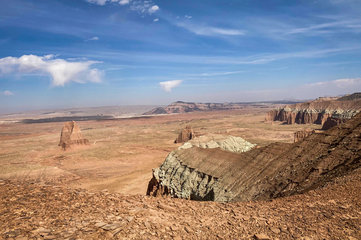
- Distance: 1.7 miles, out-and-back
- Elevation: 150 ft
- Difficulty Rating: Easy
- View the trail notes
While most hikers enjoy Temple of the Sun and Moon from the bottom of the valley, you can take this trail to see a birds eye view of these two incredible monoliths. The trail out to the saddle is flat the entire way with a small, steep push at the end to get to the viewpoint.
How to get there: Good weather and a high clearance, 4×4 vehicle are required to safely access this trail. Head east on Highway 24 and look for a sign with the “Cathedral Valley Loop Tour” sign. Take a left here onto Harnet Road and follow this road to the trailhead.
16. Headquarters Canyon Trail
- Distance: 2.2 miles, out-and-back
- Elevation: 406 ft
- Difficulty Rating: Easy
- View the trail notes
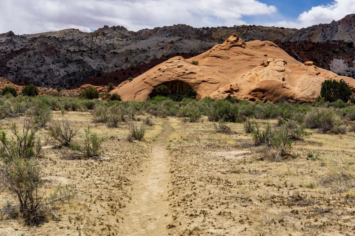
This exciting slot canyon is one of the best hikes in Capitol Reef that offers a drastic change in scenery compared to the other popular trails in the park. Gaze in awe at the striped Navajo Sandstone walls as you walk through narrow canyon walls.
How to get there: From Highway 24, turn onto Notom-Bullfrog Road and follow straight onto Burr Trail Road. The trailhead is just before the park boundary near Sheer Point.
17. Surprise Canyon Trail
- Distance: 2.2 miles, out-and-back
- Elevation: 423 ft
- Difficulty Rating: Moderate
- View the trail notes
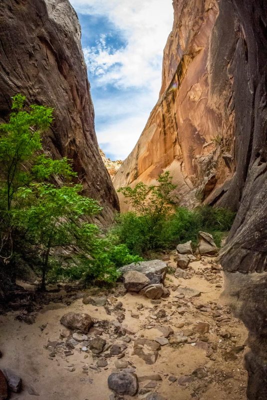
This is another scenic slot canyon hike that takes you into the waterpocket fold. Enter the deep canyon and follow the wash through narrow canyon walls before arriving at a rockfall that marks the end of the trail.
How to get there: Follow Highway 24 to Notom-Bullfrog Road. Continue straight to Burr Trail Road to get to the marked parking area on the right.

What to pack for hiking at Capitol Reef National Park
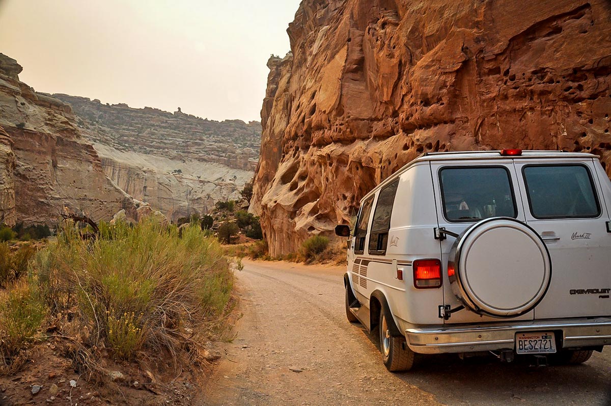
No matter which hikes you choose to tackle in Capitol Reef National Park, there are a few key items we’d recommend bringing along.
- Navigation: we recommend using Alltrails+ to download the offline trail map
- Get your first week of using Alltrails+ for FREE when you sign up using our link!
- Hiking backpack
- Hydration pack and/or water bottles
- Sun protection: sunscreen, sunglasses, hat
- Bug spray (we prefer the natural stuff)
- Camera/tripod (this one’s our favorite for hiking)
- Hiking shoes or Chacos if you prefer
- Comfortable hiking clothes (lots of layers!)
- Swimwear (if you’re visiting in the summer and plan to take a dip!)
- Plenty of snacks: check out our favorite hiking snacks here!
Be sure to grab our ultimate hiking packing list includes our must-have gear for any hiking trail!


You may also like…
- Cool Utah Slot Canyons You Can Hike Through
- Best Hikes in Zion National Park
- Best Hikes in Arches National Park
- Best National Parks on the West Coast & Western U.S.
Save this article on Pinterest for later!

We want to hear from you!
Have you done any of the hikes in Capitol Reef from this list? What was your experience like? Are you planning a trip to Capitol Reef National Park and want more advice? Comment below and let us know!

