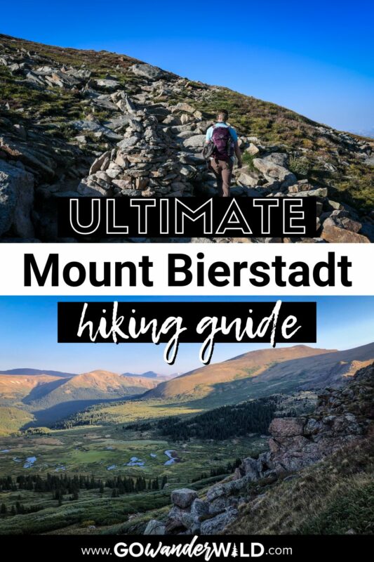
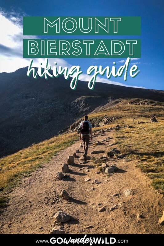
One of the closest and most accessible 14ers to Denver, Mount Bierstadt is an extremely popular hike. Even with its approachability, summiting a mountain of this size is no joke, so we put together this detailed trail guide with everything you need to know.
In the perennially busy Front Range, just 1.5 hours from Denver, Mount Bierstadt is one of the most popular 14er hikes in Colorado. That’s because, in addition to its accessibility, it’s also known as one of the easiest 14ers. Of course, ‘easy’ is very relative!
Even novice hikers can summit Mount Bierstadt in about four hours, making it the perfect day trip. That’s exactly why it’s a popular hike for both newbies and experienced peak baggers.
Its proximity to Mount Blue Sky (formerly Mount Evans) is equally appealing. Where else can you conquer two 14,000-foot peaks in just one day?
Mount Bierstadt Trail Guide
- Mount Bierstadt trail stats
- Hike overview
- Mount Bierstadt trail map
- Know before you go
- The route
- Tips for hiking Mount Bierstadt
- Where to camp
- What to pack

Mount Bierstadt trail stats
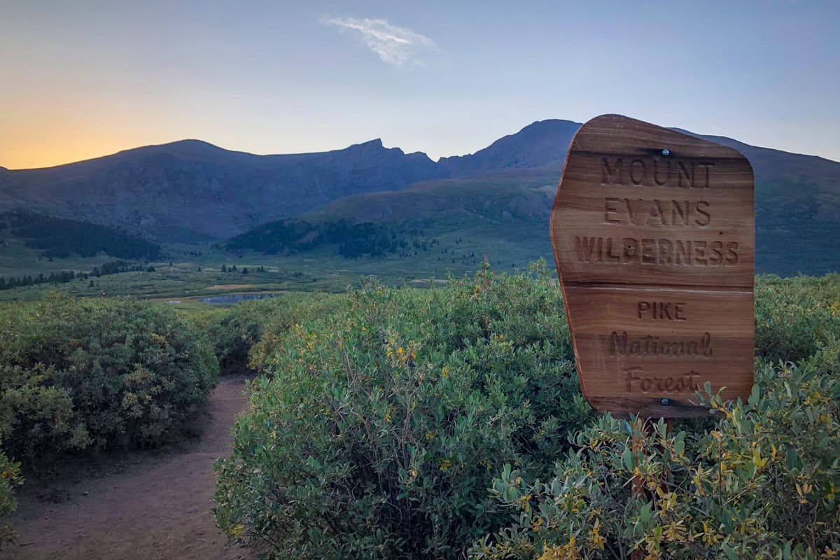
- Location: Mount Evans Wilderness, about 40 miles west of Denver
- Distance: 7.2 miles out and back
- Elevation gain: 2,736 feet
- Difficulty rating: Challenging
- Timing: 3.5-4 hours
- Pets: leashed dogs are welcome, but due to the popularity of the trail and steep, rocky terrain, it’s not suitable for all pups
- Permits: free, self-issuing Mount Evans Wilderness permits required (fill it out at the trailhead)
- View the trail notes
Mount Bierstadt trail map
Mount Bierstadt hike overview
With a mostly straightforward route, fairly easy (and fun!) Class 1 and 2 scrambles, a short drive from Denver, and the ability to bring dogs, it comes as no surprise that Mount Bierstadt is so popular.
That popularity is an important detail—this is not a hike where you’ll find solitude, any time of the year. Although part of Guanella Pass closes in the winter, adventurous hikers willing to add a few miles can tackle this trail year-round.
Whether you’re looking to bag your first 14er or you’re an experienced hiker wanting a quick but challenging adventure, it’s hard to top Mount Bierstadt…literally!
Things to know before you go
Although Mount Bierstadt has a reputation for being ‘easy,’ there are several things to take into consideration as you plan your hike.
Best time of year for the Mount Bierstadt hike
The best time to hike Mount Bierstadt is the peak of summer into very early fall, late June through early September.
Snow covers the trail, as well as Guanella Pass, until well into June (and some years, even into early July!) and starts up again pretty early in autumn. With that said, patches of snow and ice on the trail are common year-round. Microspikes are always useful for Mount Bierstadt!
Speaking of snow, you can actually hike Bierstadt in the winter. However, you’ll have to start from the Guanella Pass winter closure (the road doesn’t ‘officially’ close, but it’s the last to get plowed in this area), adding 3-4 miles to your total hike distance.
If you do plan a winter summit of Mount Bierstadt, it’s crucial to be extremely familiar and experienced with avalanche safety measures. Also, keep in mind the much shorter daylight hours.
How long does it take to hike Mount Bierstadt ?
Factor in about four hours to summit Mount Bierstadt. Your time may be a bit shorter or longer, depending on your individual hiking pace and how much time you spend at the summit.
Even if you’re typically a fast hiker, it’s advised to go at a slower-than-normal pace if you’re not acclimated to high elevation. Altitude sickness is very real, and the more drastic (i.e., fast) the change is, the more likely you are to experience its effects.
How difficult is the Mount Bierstadt hike?
Considering that you’re summiting a 14,000-foot mountain, Mount Bierstadt is almost surprisingly moderate. By some standards, even easy. It isn’t a particularly technical hike and the route is well-marked and maintained.
However, don’t be fooled by the term ‘easy.’ You gain well over 2,500 feet in 3.5 miles and, more importantly, the entire hike is at high elevation—it’s a butt-kicker. The altitude is the most challenging aspect for many hikers, particularly those not well acclimated.
Obtaining a permit for your Mount Bierstadt hike
Mount Bierstadt has possibly the easiest permit system ever. All you need for your hike is a FREE self-issuing wilderness permit, which you can get at the trailhead. To clarify, you don’t need to make any sort of advanced reservation and there’s no cost involved.
Wildlife on the trail
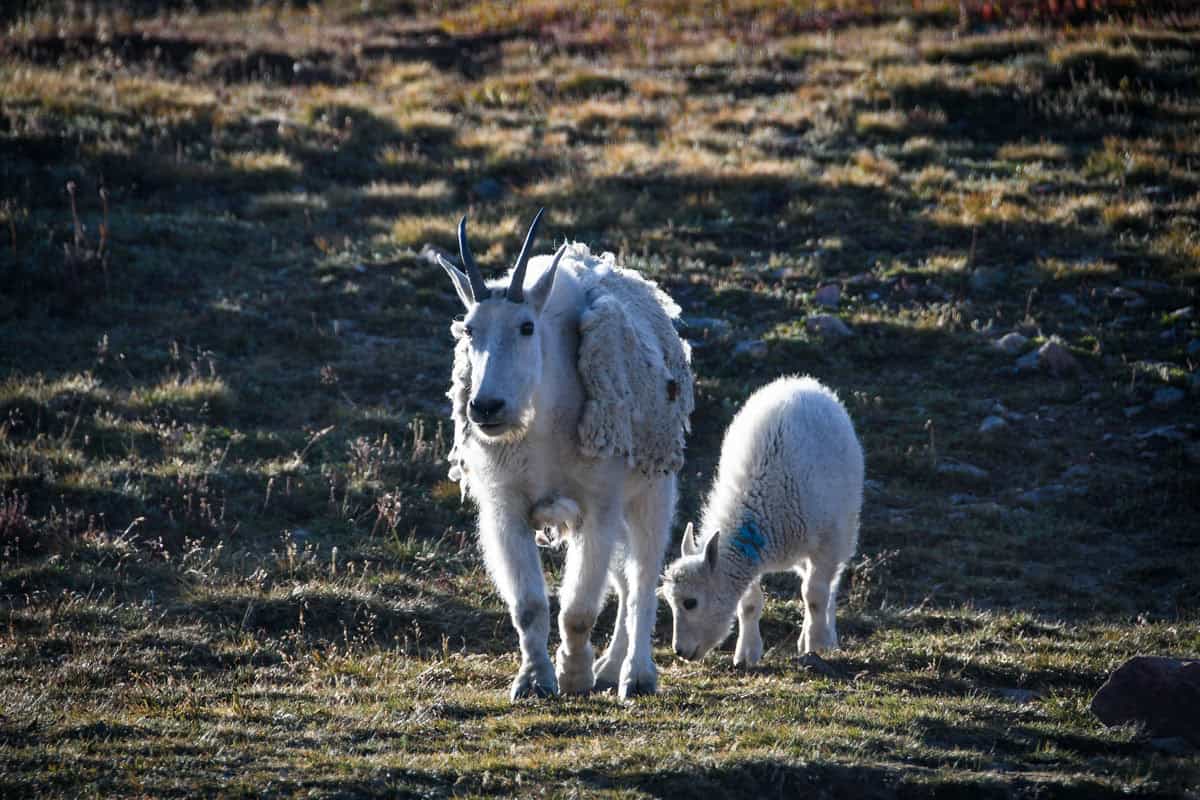
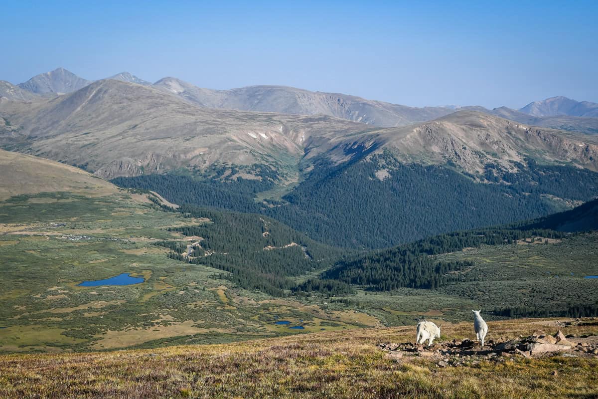
There’s an excellent chance you’ll encounter at least one or two mountain goats on the hike up Mount Bierstadt. Hikers regularly see them not only from a distance, but right on the trail, too.
While they’re normally pretty docile and mostly curious, they can sometimes be aggressive. Like other wild animals, this is typically most true of mama goats with kids and males during the rut, or breeding season.
Closer to the beginning of the hike and along the road, you may also spot elk, deer, rams, or moose, especially near the lake or creek.
If you do encounter any wildlife, give them plenty of space and speak in loud but calm voices to establish your presence. In the event that an animal is actually on the trail, step off to the side and give them time to move on, encouraging them to do so by speaking loudly.
The route
We broke down the route for hiking the Mount Bierstadt trail into parts to give you an idea of what to expect on the route.
Before you begin
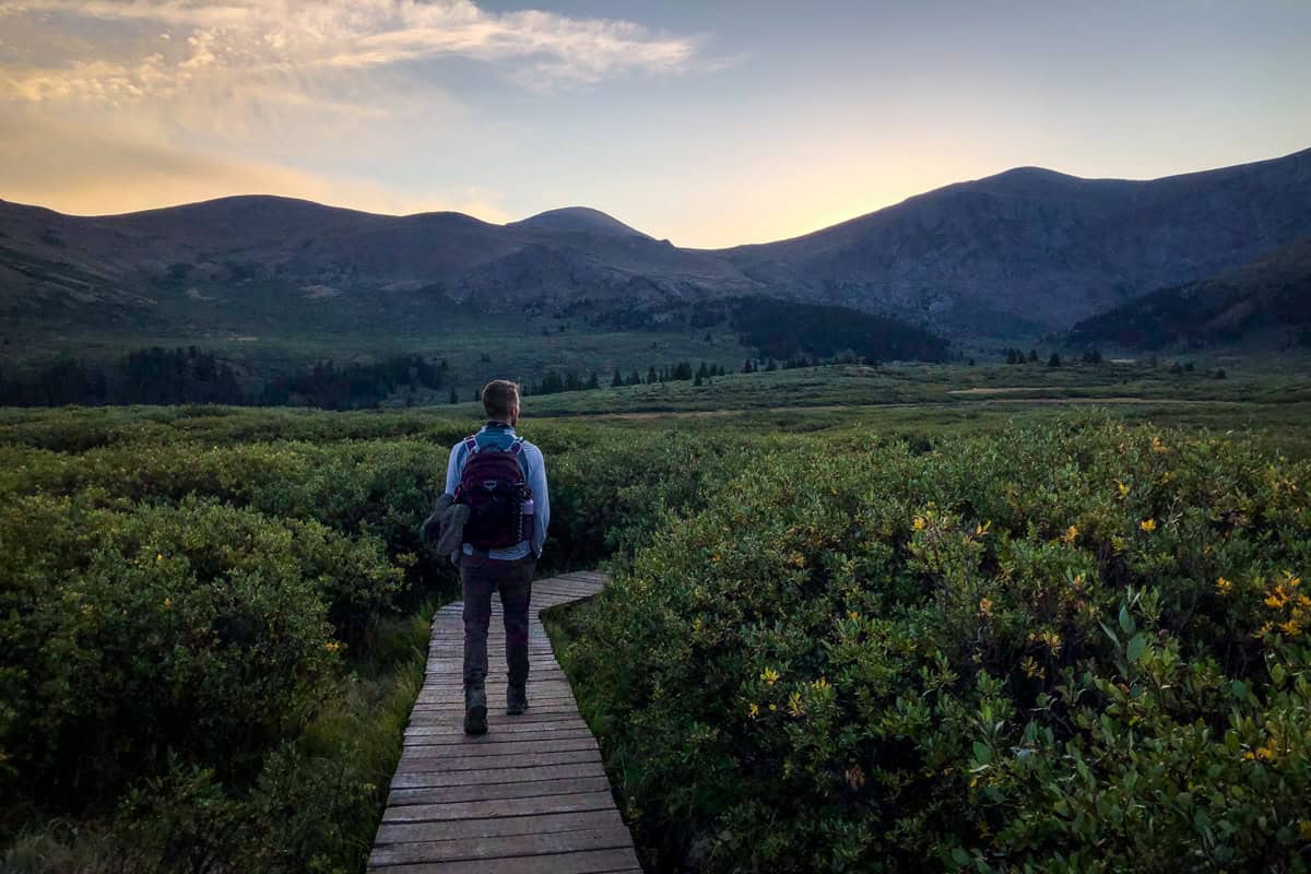
Start your Mount Bierstadt hike from the Guanella Trailhead. It’s a straightforward, well-marked drive just over an hour from Denver, and just north of Georgetown.
Remember, Guanella Pass is closed in the winter months, typically from roughly Thanksgiving until Memorial Day. While you can still hike Mount Bierstadt (weather permitting, of course), you’ll start from the winter road closure, adding about four miles to your total distance.
Before setting out, fill out a free self-issued Mount Evans Wilderness permit at the trailhead. The beginning of the trail is very well-traveled and easy to follow, with wooden boardwalks over marsh-like areas.
Part I
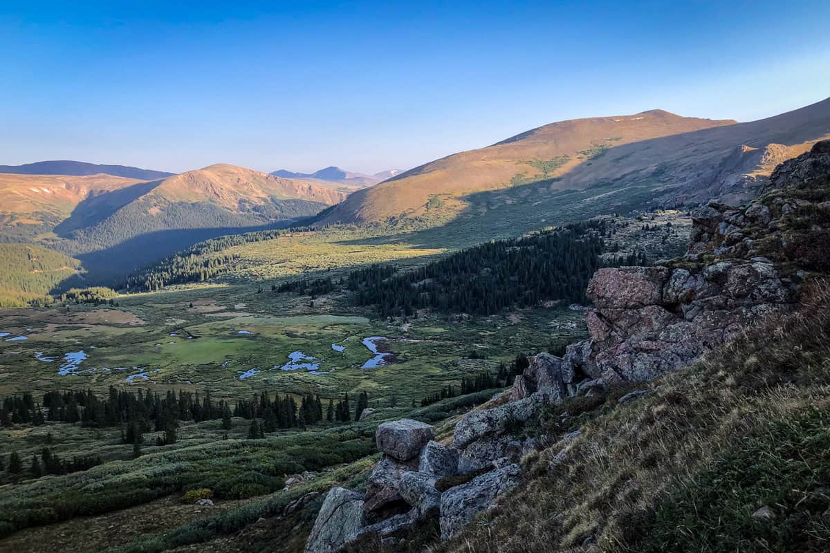
You’ll start to descend slightly almost immediately, losing a couple hundred feet in elevation. Pass a small lake on your left (look for elk and moose, especially at dawn or dusk!), and then rock-hop across Scott Gomer Creek at the 0.8-mile mark.
After crossing the creek, right about when you hit one mile, the trail gradually begins gaining elevation up to Mount Bierstadt. Spoiler alert: it never stops!
Part II

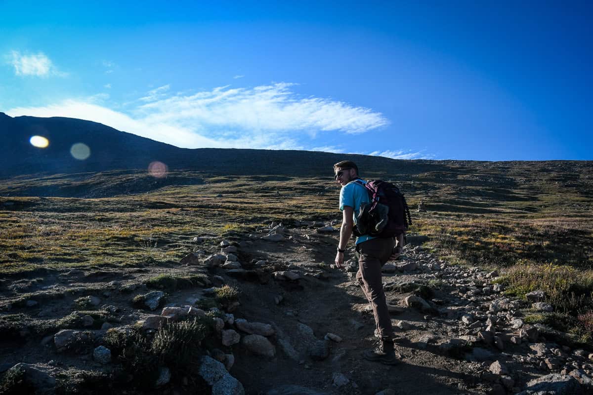
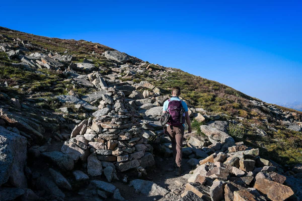
At a series of mild switchbacks (there’s no questioning when you reach them—the trail here is well-marked with rock cairns and poles), you are officially on the standard West Slopes route up the mountain.
The next leg of the hike is a rocky, upward slog, and the elevation begins to take a more obvious toll. Still, it’s manageable for even beginners if you take your time.
Part III

Once you conquer the switchbacks at about 1.7 miles from the trailhead, you’ll be on a saddle-like ridge beneath Mount Bierstadt. You’ve left the shrubby terrain behind and the trail becomes wider and strewn with large rocks.
The elevation is likely leaving you winded as you climb, but Mount Bierstadt itself is fully within your view, providing welcome motivation.
Park IV
About 3.3 miles in, you’ll come to the top of the ridge. From here, the summit is just a quarter-mile up through the boulder fields.
The trail more or less disappears in this last section, so you’ll scramble and climb more so than hike. Luckily, there are several routes that lead to the summit. Even luckier, the easiest, most well-beaten options are marked with cairns.
Try to follow one of these, but if you lose the trail, focus on going straight up and to the left. The rocks are more solid underfoot than they look, so this scrambling section is actually a bit easier than it initially seems. Dogs may have a tougher time, though, so keep yours close.
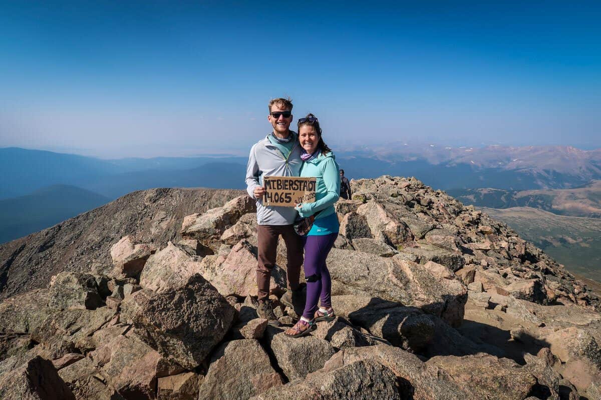
Part V: Summit
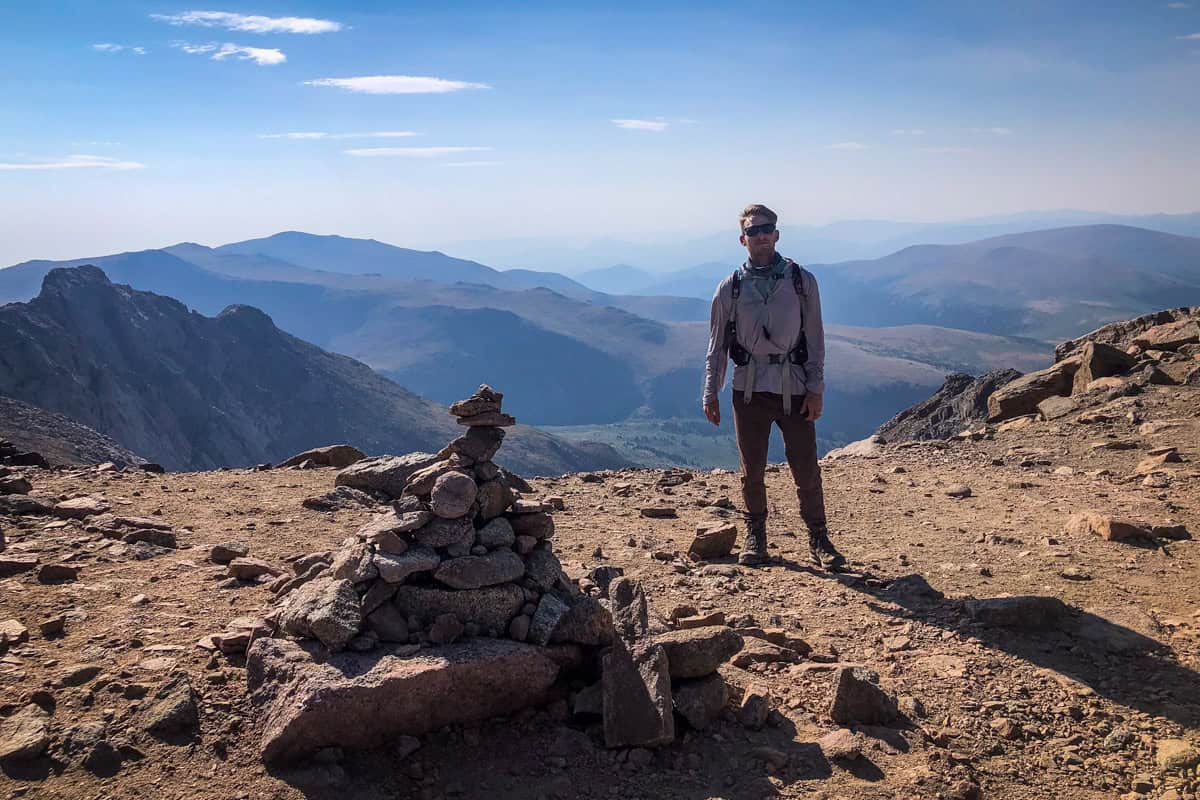
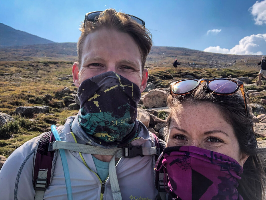
Up at the summit of Mount Bierstadt, have some snacks, hydrate, and enjoy the view. At this high altitude, it’s often windy and the temperature is quite a bit colder than at the trailhead. Bring a packable jacket, and maybe even a pair of gloves or beanie to throw on.
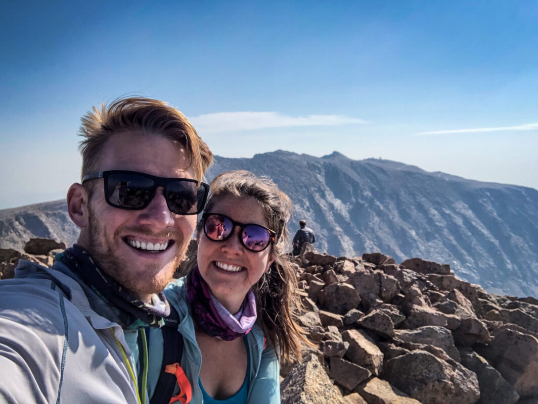
One last thing…you may have heard or seen on a map that Mount Blue Sky (formerly Mount Evans), another popular Colorado 14er, is super close to Mount Bierstadt.
You can hike them both in one day (many people do), but be aware that Sawtooth Ridge, which connects the peaks, is a challenging Class 3 scramble not for beginners.
The ‘easy’ Mount Evans approach is accessed via the Summit Lake trailhead on the complete opposite side of the mountain.
Tips for hiking Mount Bierstadt
- Afternoon storms occur almost daily in the summer. A 14,000-foot mountain above treeline is NOT where you want to be during a storm, so aim to be off the trail early in the day. Mountain-Forecast is a great website for detailed high-elevation forecasts.
- If the weather turns, get off the mountain ASAP. This should go without saying, but it’s worth adding onto the previous tip. Your safety is far more important than reaching the summit!
- Start early OR late in the day. In addition to summer storms, the parking lot is often full by 6:00 AM on weekends. If you can’t start by 5-6:00 AM, consider hiking in the late afternoon. By then, storms should have rolled through and early birds are off the trail.
- Watch out for altitude sickness. It’s very real, and will quickly end your adventure. Hydrate and try to acclimate to the elevation for a day or two before your hike. Head down ASAP if you notice symptoms including headache, nausea, or disorientation.
- Microspikes are useful almost all year. Throw a pair into your pack just in case.
- Bring a shell or packable jacket to throw on at the summit. Many people are shocked by just how much colder and windy it can be at this elevation.
- Pack a gaiter or face mask in case of wildfires. They’re common in the summer, and the smoke inhalation can be pretty unpleasant.
Where to camp near Mount Bierstadt
Guanella Pass runs right through multiple National Forests and designated Wilderness Areas, so luckily, there’s a ton of camping near Mount Bierstadt.
The closest option is Guanella Pass Campground, just five minutes past the trailhead. It’s open from early June through mid-September, with 18 sites that accommodate tent campers and trailers or RVs. The campground has vault toilets and potable water.
You can also choose from a handful of established Forest Service campsites on either side of Guanella Pass approaching the Bierstadt trailhead. Like Guanella Pass Campground, the majority of these are reservable in advance through Recreation.gov.
Alternatively, if you’re a more self-sufficient camper, explore some of the area’s many dispersed camping options. Remember, in general, dispersed sites have no or very few amenities and are first-come, first-served.
What to pack for hiking Mount Bierstadt
- Navigation: we recommend using Alltrails+ to download the offline trail map
- Get your first week of using Alltrails+ for FREE when you sign up using our link!
- Permit*
- Hiking daypack
- Water bottles and/or bladder for your Camelbak
- Bug repellant
- Sun protection: sunscreen, hat, sun glasses
- Headlamp
- Camera/tripod (this one’s our favorite for hiking)
- Lots of layers (here is a great resource if you’re wondering what to wear hiking)
- Comfortable hiking boots or shoes
- Hiking poles (optional)
- Battery pack (if you are relying on your phone)
- Plenty of snacks: check out our favorite hiking snacks here!
*Don’t forget to pack your permit!
Be sure to download our FREE hiking packing list before your next trip and never leave another essential behind again!
You may also like…
- Best Colorado Hiking Trails
- Best Hikes Near Denver
- Best Hikes in Rocky Mountain National Park
- National Parks in Colorado: Guide + Tips
Save this article on Pinterest for later!
We want to hear from you!
Have you hiked the Mount Bierstadt trail in Colorado? What was your experience like? Are you planning to hike a Colorado 14er and have more questions? Comment below and let us know!