There are several amazing Eugene Oregon hikes, including the famous Trail of Ten Falls, family-friendly options under one mile, and super-steep summit hikes. We put together this list of the best hikes in Eugene to help you plan your next outing!
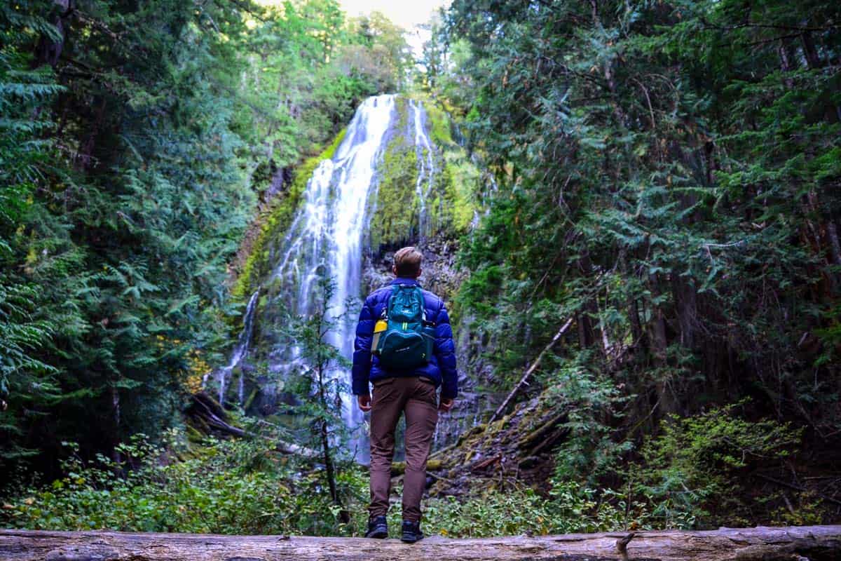
People may associate it with the University of Oregon or Nike’s birthplace, but Eugene, Oregon is also a fantastic hiking destination.
It’s a major college town located along the Willamette River, and it’s also close to the Central Cascades (specifically, the spectacular Three Sisters Wilderness). As you can imagine, Eugene Oregon hikes are extremely diverse.
In just a single weekend, you can scramble up a butte 10 minutes from downtown, hike to 10 waterfalls on a single trail, or frolic through wildflowers at an arboretum…or do all three!
Bonus: Eugene is home to over 20 craft breweries. Everyone knows that post-hike beers are the best kind!
Eugene Hiking Guide
We’ve included some extra info for planning your Eugene, Oregon hikes. Jump to the following sections (or just keep scrolling to see it all!).

1. Ridgeline Trail: Fox Hollow to Mt. Baldy Loop
- Distance: 3.8-mile loop
- Elevation gain: 725 feet
- Difficulty rating: Easy
- Alltrails trail notes
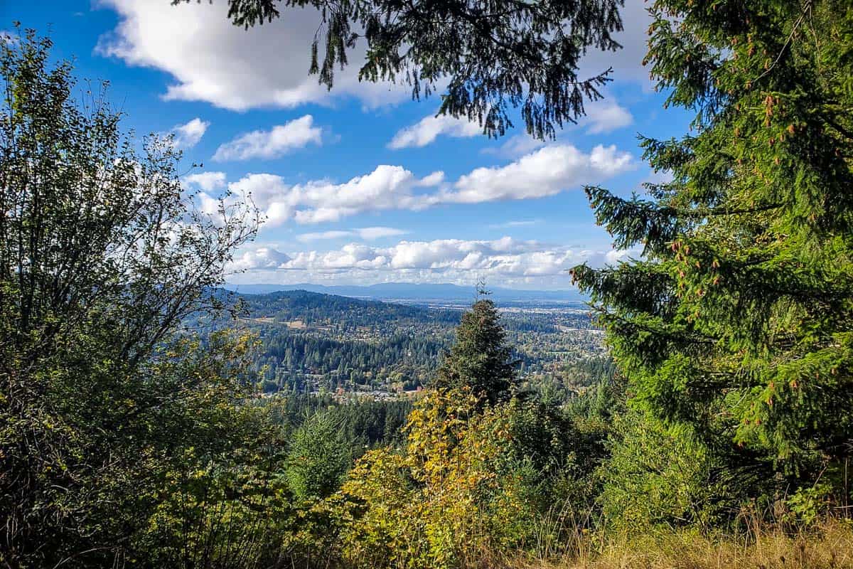
Eugene’s Ridgeline trail system is a crown jewel of the community. It has 12+ miles of trails and seven trailheads, including to both Fox Hollow and Mt. Baldy. While you can hike each one individually, this mountain bike and dog-friendly loop connects the two via a relatively easy trail.
The Fox Hollow section is flatter and more shaded. Once you cross Dillard Road toward Baldy, the trail climbs and is much more exposed, but the outstanding views and wildflowers are a worthy trade-off.
2. Spencer Butte
- Distance: 1.7-mile loop
- Elevation gain: 730 feet
- Difficulty rating: Moderate
- Alltrails trail notes
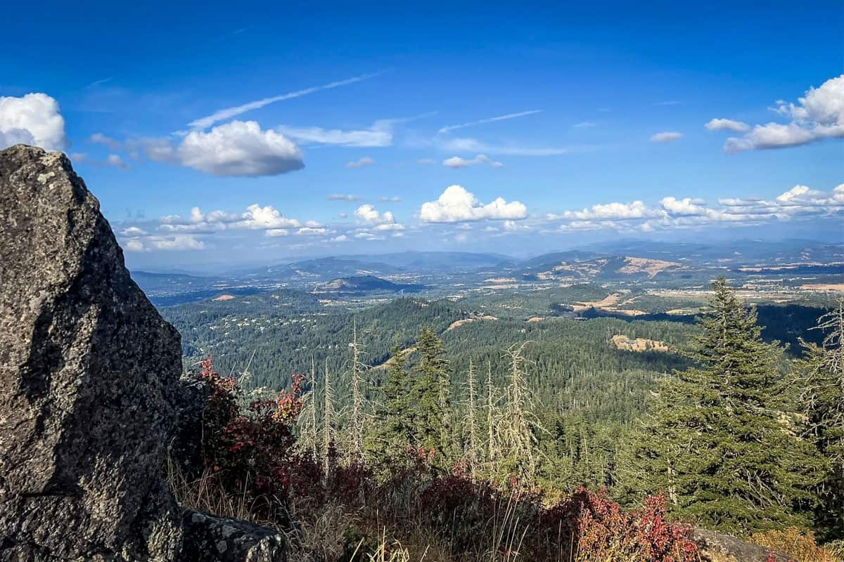
Spencer Butte has the best views in the city, but you have to work for them. The Main Trail is longer and less steep, but we actually recommend taking the harder leg first.
Start on the West Trail and go clockwise so you’ll have a very steep, rocky ascent, but a much easier descent. Get the hard part out of the way first! Either way, you’ll have to navigate nearly a quarter-mile of steep steps near the summit.
3. Mossy Maple Trail
- Distance: 5.2 miles out and back
- Elevation gain: 810 feet
- Difficulty rating: Moderate
- Alltrails trail notes
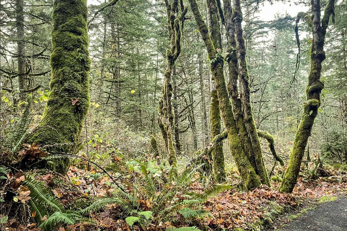
One of the newest Eugene Oregon hikes, the Mossy Maple Trail has only been open for a couple of years. It has nearly 30 switchbacks up another butte, then levels out significantly towards the top.
As its name implies, this is an especially beautiful hike during leaf-peeping season. You’ll share it with mountain bikers, though, so be mindful of cyclists and bike-only downhill spur trails.
4. Homer Campbell Memorial Boardwalk
- Distance: 0.7 miles out and back
- Elevation gain: Less than 10 feet
- Difficulty rating: Easy
- Alltrails trail notes
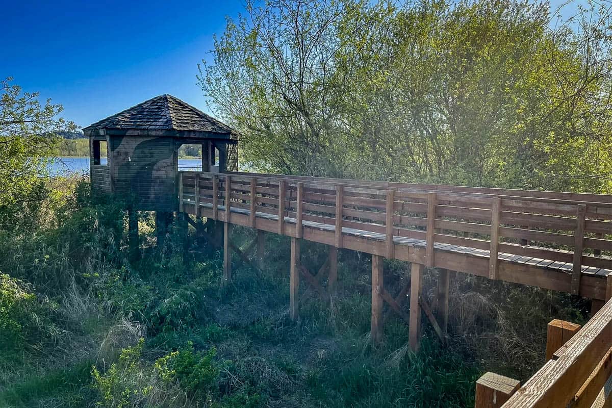
More of a stroll, this is one of the shortest and easiest Eugene Oregon hikes. It’s an ADA-accessible trail in the William L. Finley National Wildlife Refuge, and it feels more like a Florida swamp than Oregon!
The boardwalk leads to a shelter overlooking Cabell Marsh, a perfect spot to look for birds and waterfowl like osprey, eagles, and heron. There are a handful of benches and interpretive signs along the trail, making it ideal for children.
5. Mount Pisgah Trail
- Distance: 3.5 miles out and back
- Elevation gain: 1,050 feet
- Difficulty rating: Moderate – challenging
- Alltrails trail notes
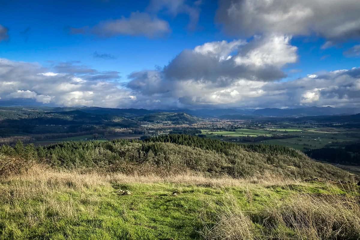
Want a great workout and great views, but don’t have a lot of time? Mount Pisgah is a great option! Close to town in the Howard Buford Recreation Area, the trail climbs 1,000 feet in just over 1.5 miles, ending with 360-degree views over Willamette Valley.
Unsurprisingly, it’s one of the most popular Eugene Oregon hikes for sunset!
You actually have a choice of several trailheads (the one we linked is considered the ‘main’ one). All of them require a fairly aggressive climb, but luckily, they’re all also on the shorter side.
If time allows, wander through the Mount Pisgah Arboretum while you’re here!
6. Trail of Ten Falls
- Distance: 7.4 miles, out-and-back or loop
- Elevation gain: 1,151 feet
- Difficulty rating: Moderate
- Alltrails trail notes
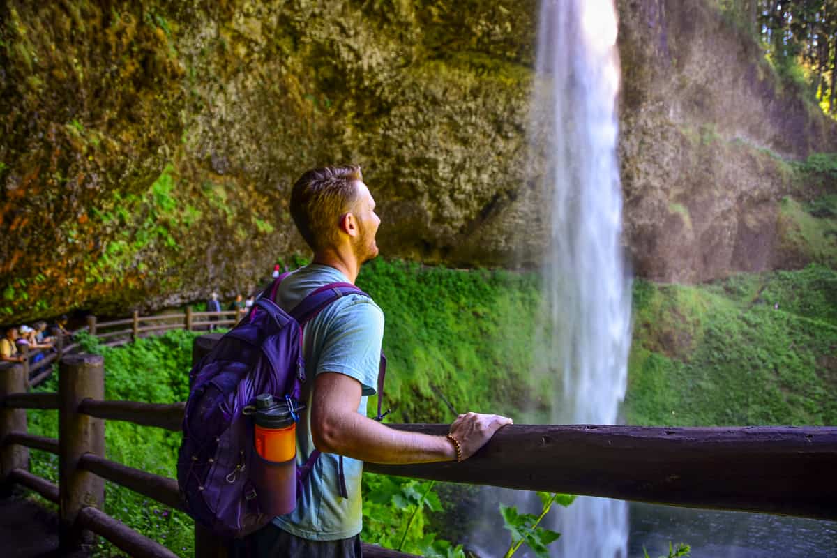
The Trail of Ten Falls is one of the most popular trails in Silver Falls State Park and the best trail in Oregon for waterfalls. You won’t be disappointed on this Oregon trail since every waterfall is jaw-dropping and picturesque, ranging from 27 feet to 178 feet high.
You can use our guide to Silver Falls State Park to help plan your trip!
7. McDowell Creek Falls
- Distance: 1.6 miles
- Elevation gain: 288 feet
- Difficulty rating: Easy
- All trails trail notes
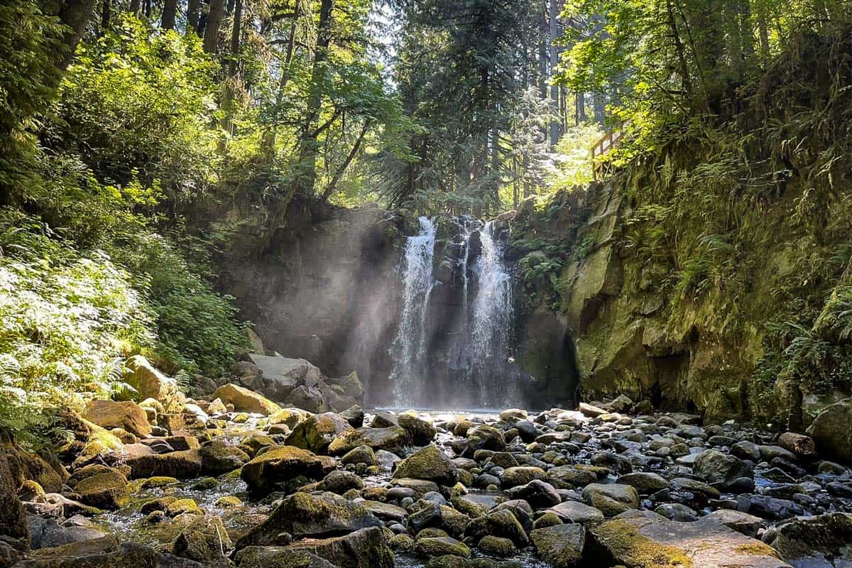
Within an easy two-mile creekside hike, McDowell Creek Falls lets you see two large and two small waterfalls (Majestic Falls and Crystal Falls and Royal Terrace Falls and Lower McDowell Creek Falls, respectively), plus several smaller, unnamed cascades. These falls are within 110-acre McDowell Creek Falls County Park, considered a hidden gem itself.
8. Eagle’s Rest Trail
- Distance: 4.9 miles out and back
- Elevation gain: 1,330 feet
- Difficulty rating: Moderate
- Alltrails trail notes
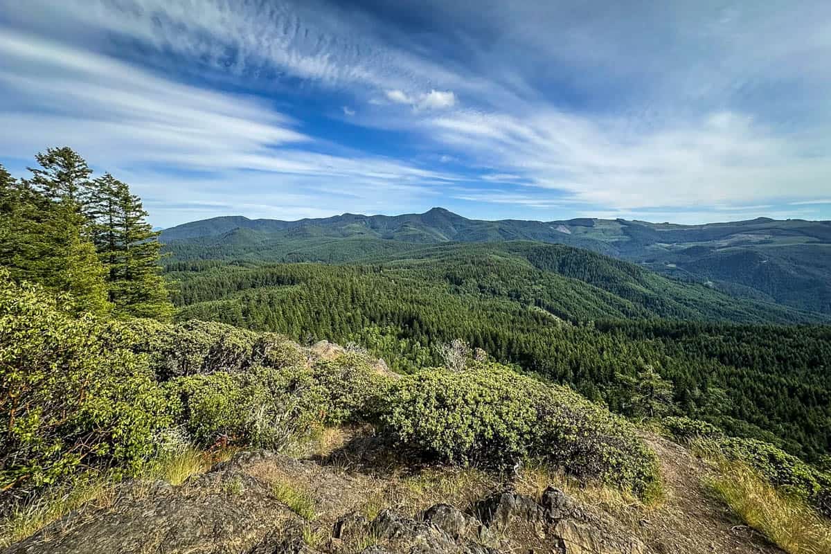
The hike to Eagle’s Rest combines separate lower and upper trails, the lower one being quite easy. A set of switchbacks to the summit makes the upper trail slightly more challenging, but it’s mercifully short—not even half a mile.
Enjoy sweeping views at the top and a historic shelter along the way, but beware of mountain bikers and off-leash dogs.
9. Silver Falls Canyon Trail
- Distance: 5.6 miles, out-and-back
- Elevation gain: 1,000 feet
- Difficulty rating: Moderate
- Alltrais trail notes
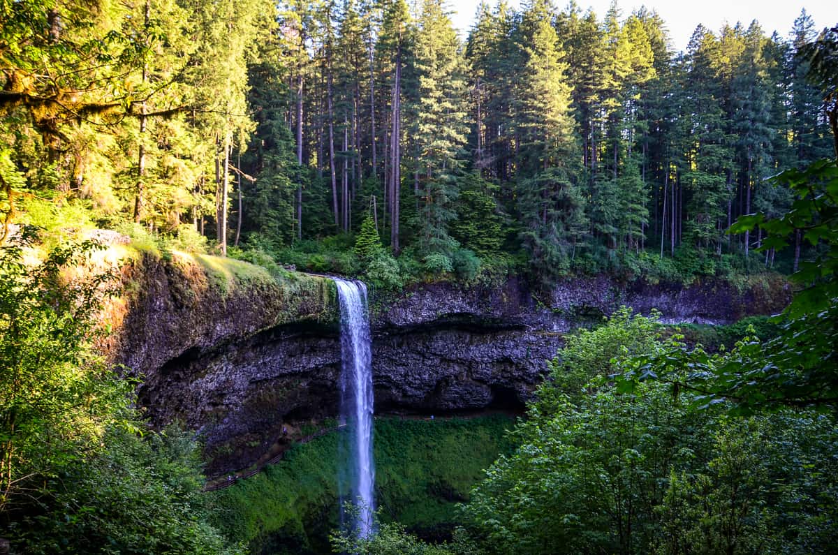
Silver Falls is the second highest waterfall in the state making it one of the best Oregon waterfall hikes. Along this route you’ll find a variety of different waterfalls along this historic trail that was transformed from a pack trail to a wagon road 1901, and eventually changed to a hiking only trail.
10. Alsea Falls & Green Peak Falls
- Distance: 2.4 miles out and back
- Elevation gain: 295 feet
- Difficulty rating: Moderate
- Alltrails trail notes
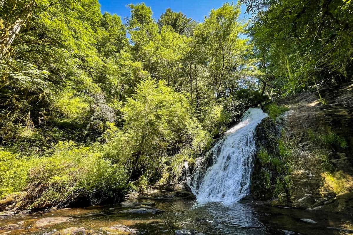
This short, easy-going hike near Eugene brings you to two waterfalls.
Multiple-tiered Alsea Falls is extremely popular because it’s essentially right in the Alsea Falls Recreation Area, with picnic areas and a campground. To ditch the crowds, cross the bridge and hop on the McBee Trail, which leads to lesser-visited Green Peak Falls.
Both falls become popular summer swimming holes, but actually hit peak flow in late winter.
11. Proxy Falls
- Distance: 1.6 miles
- Elevation gain: 147 feet
- Difficulty Rating: Easy
- Alltrails trail notes
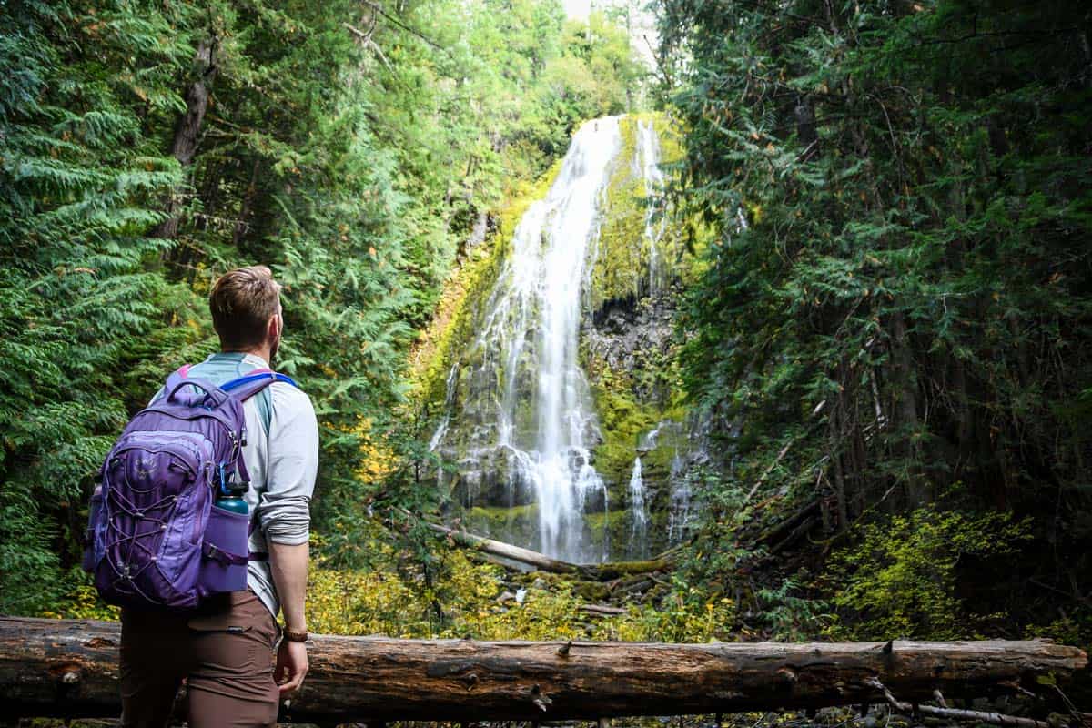
With two parallel streams cascading 226 feet down a mossy cliff and then disappearing into the volcanic rock below, Proxy Falls is one of the most memorable Oregon waterfall hikes. The short, easy loop trail is also pet-friendly. Note that the road to the trailhead closes from mid-November to mid-June, so save this one for your summer bucket list!
12. Salt Creek – Diamond Creek Falls
- Distance: 5.4 miles
- Elevation gain: 1,040 ft
- Difficulty Rating: Moderate
- Alltrails trail notes
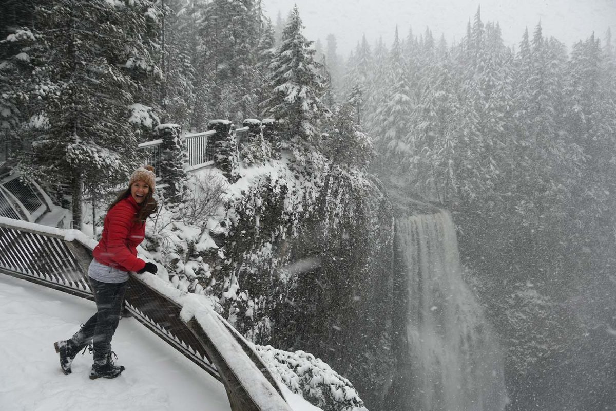
On this hike, you’ll go through dense forest to a jaw-dropping lookout of Salt Creek Falls, one of Oregon’s tallest (286 feet), as well as get a great viewpoint of broad Diamond Creek Falls. While both waterfalls have their own observation areas, the loop trail to both makes for an enjoyable half-day trip.
13. Tamolitch Blue Pool via the McKenzie River Trail
- Distance: 3.7 miles, out and back
- Elevation gain: 305 ft
- Difficulty rating: Moderate
- Alltrails trail notes
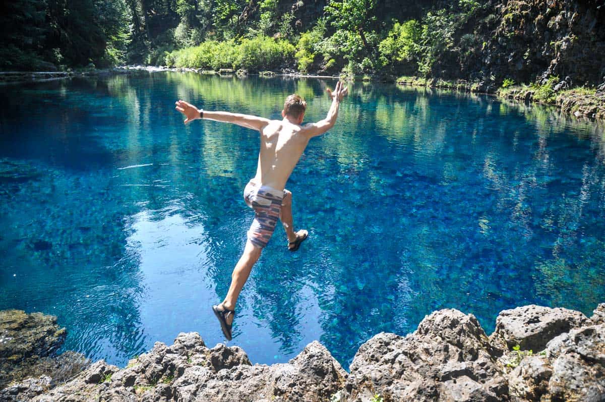
This short section of the McKenzie River Trail brings you to the stunning turquoise Tamolitch Pool (also known simply as the Blue Pool). There are no filters used on this photo – the water really is that blue!
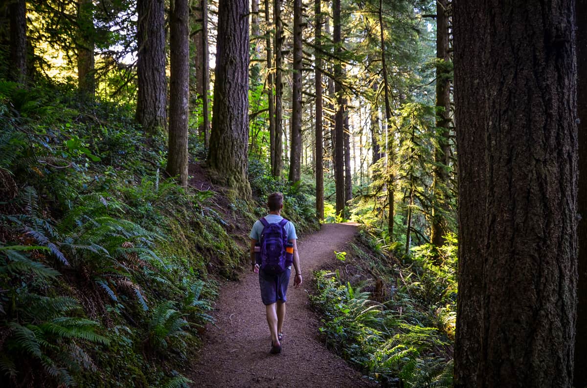
You’ll begin your hike walking through an old growth Douglass fir forest. The hike is relatively flat, but be careful for tree roots and slippery rocks. We have all the directions and information you need in our guide to visiting the Tamolitch Blue Pool.
14. Sahalie & Koosah Falls
- Distance: 2.6 miles
- Elevation gain: 360 feet
- Difficulty rating: Easy
- Alltrails trail notes
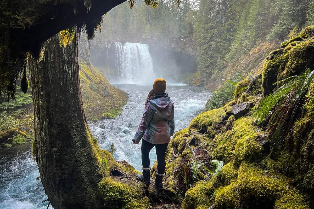
With two picturesque, ultra-blue cascades and a leisurely, family-friendly trail, this is one of the best waterfall hikes in Oregon. You’ll likely hear Sahalie Falls from the parking lot (it’s probably only 100 yards away!). It connects to Koosah Falls via an easy loop trail along the river, with several photo ops and picnic spots along the way.
15. Mount June Trail
- Distance: 2.2 miles out and back
- Elevation gain: 915 feet
- Difficulty rating: Moderate – challenging
- Alltrails trail notes
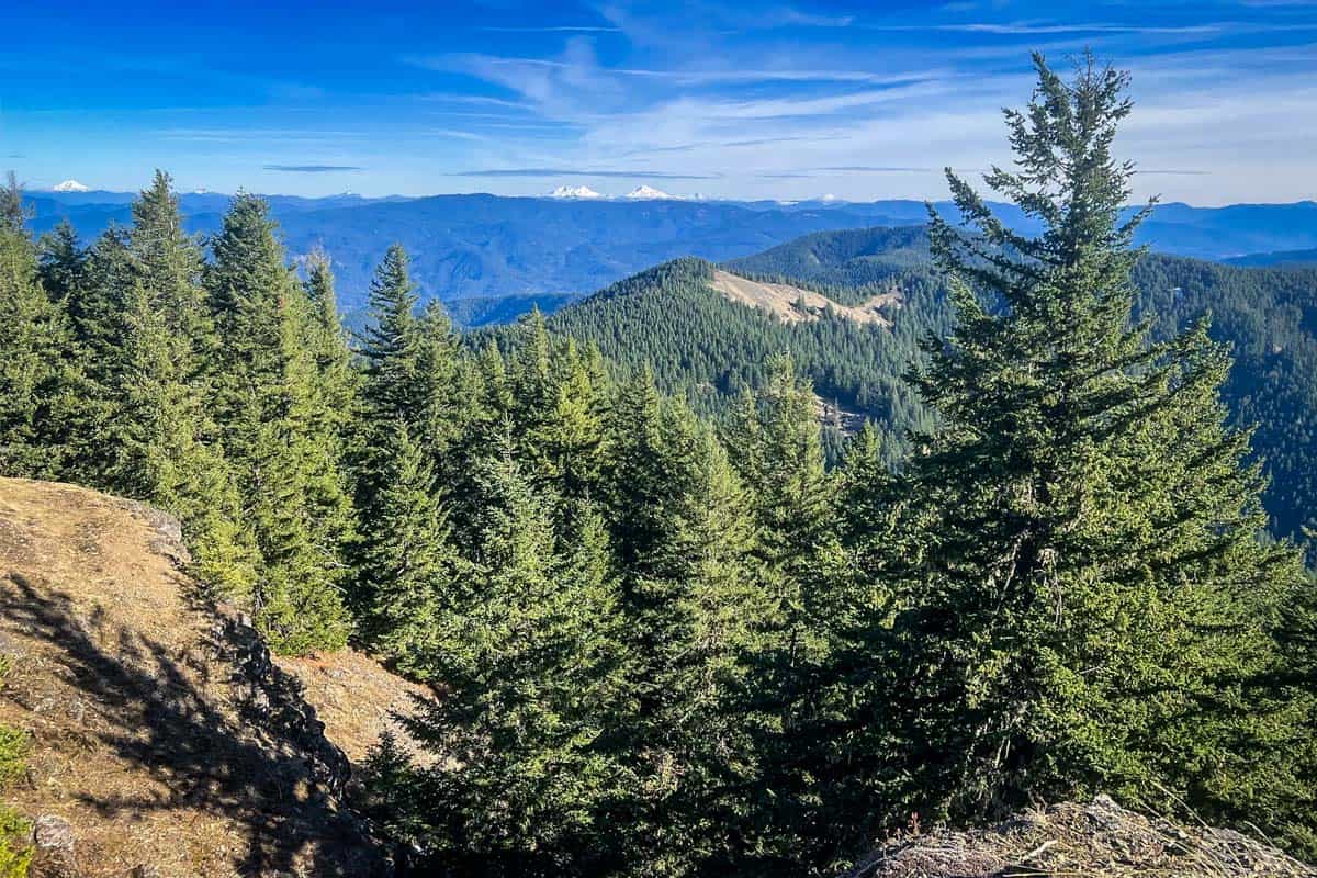
This short hike up the area’s tallest peak (4,618 feet) is STEEP. Luckily, the incredible views of the Cascades from the top make it worth all the huffing and puffing!
Several other Eugene Oregon hikes connect to this trail, so keep a close eye on your map. Some include nearly 4,000 feet of elevation gain—that would be a very unpleasant surprise!
Even with the steep ascent, the trickiest aspect of hiking Mount June is actually the road to the trailhead. It’s a rough old logging road riddled with potholes and mud, making it slooooow-going.

Best time to go hiking in Eugene, Oregon
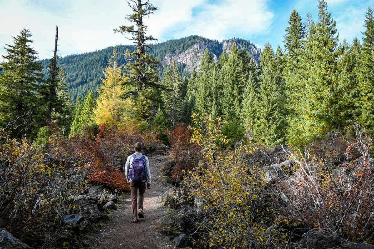
While many Eugene hikes are accessible year-round (one of the best things about this area!), the BEST times to hit the trail overall are spring and fall.
Waterfalls flow at full peak in the springtime, and color-changing fall foliage highlights Eugene’s beautiful scenery come autumn. Both seasons also have the added benefit of avoiding summer’s crowds and biting insects.
With that said, summer is certainly the most popular time to explore Eugene Oregon hikes. It’s the ‘dry’ season (keep in mind, though, it’s still Oregon!) and there’s nothing more refreshing than jumping into an alpine lake at the end of a hike!
You can hike several lower elevation trails near Eugene all winter, too. Spencer Butte, Mount Pisgah, and Salt Creek Falls are all great options. Beware of ice and mud, but otherwise, enjoy the uncrowded trails!
What to pack for hiking in Eugene, Oregon
- Navigation: we recommend using Alltrails+ to download the offline trail map
- Get your first week of using Alltrails+ for FREE when you sign up using our link!
- Hiking daypack
- Water bottles and/or bladder for your Camelbak
- Dry bag (we always carry one with us for our valuables in case of rain)
- Bug repellant
- Sun protection: sunscreen, hat, sun glasses
- Headlamp
- Camera/tripod (this one’s our favorite for hiking)
- Hiking layers (here is a great resource if you’re wondering what to wear hiking)
- Rain jacket
- Comfortable hiking boots or shoes
- Hiking poles (optional)
- Plenty of snacks: check out our favorite hiking snacks here!
Be sure to download our FREE hiking packing list before your next trip and never leave another essential behind again!

Roundup of the best Eugene, Oregon hikes
Here’s a roundup of all the best Eugene, Oregon hikes so you can see everything in one place.
- Ridgeline Trail: Fox Hollow to Mt. Baldy Loop
- Spencer Butte
- Mossy Maple Trail
- Homer Campbell Memorial Boardwalk
- Mount Pisgah Trail
- Trail of Ten Falls
- McDowell Creek Falls
- Eagle’s Rest Trail
- Silver Falls Canyon Trail
- Alsea Falls & Green Peak Falls
- Proxy Falls
- Salt Creek – Diamond Creek Falls
- Tamolitch Blue Pool
- Sahalie and Koosah Falls
- Mount June Trail

You may also like…
- Incredible Oregon Waterfalls to Chase
- Scenic Oregon Lakes to Cool Off In This Summer
- Painted Hills Oregon: Ultimate Guide + Tips
- 50 Best Hikes in Oregon (for every ability level!)
Save this article for later on Pinterest!

We want to hear from you!
Have you done any of the Eugene Oregon hikes on this list? What was your experience like? Do you have more questions about hiking near Eugene? Comment below and let us know!

