Just east of downtown Bend, the urban trail up Pilot Butte packs a surprisingly impressive punch. You’ll get some serious cardio in just one mile, along with 360-degree views of the Cascades. This Pilot Butte hiking guide breaks down everything you should expect.
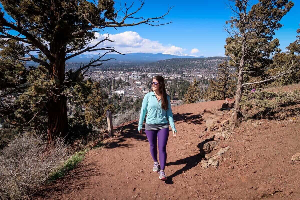
Standing just shy of 500 feet tall, Pilot Butte is one of Bend’s most recognizable landmarks. The extinct cinder cone volcano is also home to one of the most popular hikes in the city.
Reach the summit of Pilot Butte via one of two one-mile trails, both of which are favored by hikers and trail runners alike. Although they’re short, both trails are steep, offering just the right amount of difficulty for a quick workout.
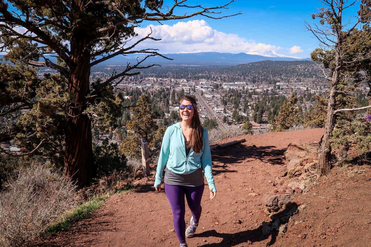
In the right weather, you can see half a dozen Cascades peaks from the summit, including Mount Bachelor, Broken Top, and Mount Hood.
Article Contents
- Pilot Butte hike stats
- Pilot Butte overview
- Know before you go
- The route
- Tips for hiking Pilot Butte
- Where to stay nearby
- What to pack

Pilot Butte trail stats
- Location: Pilot Butte State Park, Bend
- Distance: 1.8 miles out and back
- Elevation gain: 456 feet
- Difficulty rating: Moderate
- Timing: 1 hour
- Pets: Leashed dogs welcome
- View the trail notes
Pilot Butte overview
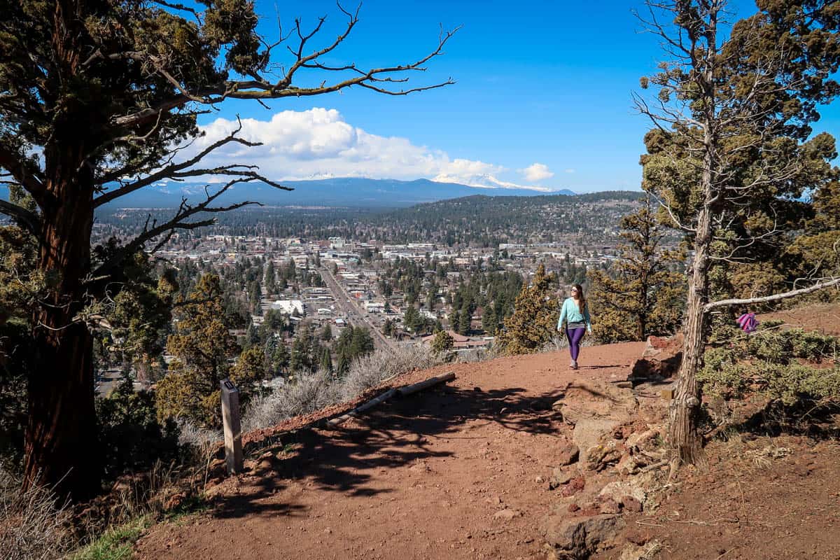
The very definition of “short and sweet,” Pilot Butte delivers tremendous views in a one-mile hike.
Choose from two trails up the extinct volcano, one dirt and one paved. Both of them start at Pilot Butte’s base and wrap up and around the mountain. They also each offer fairly steep, moderately challenging hikes and end at a viewpoint with 360-degree panoramic views.
Time your hike for sunset to see Bend come to life after dark and watch the sunset behind the Cascades!
Due to this hike’s short length and right-in-town location, it’s almost always busy. Luckily, there are multiple route options and the trail is wide, so it’s usually pretty easy to keep a comfortable distance from other hikers.
Fun fact: Bend is one of just four US cities that has a volcano entirely within city limits. The other three are Portland, Honolulu, and (oddly) Jackson, Mississippi.
Things to know before you go
There are a handful of things to keep in mind before hitting the trail to hike Pilot Butte.
Best time of year for hiking Pilot Butte
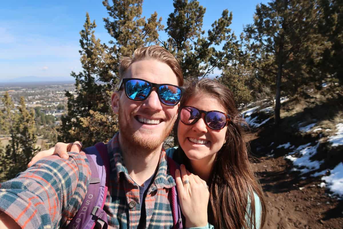
All three Pilot Butte trails are accessible (and busy) year-round, so the best time to hike is completely subjective.
Scenery-wise, fall is the best time. From the summit of Pilot Butte, you have unobstructed views of Bend and the surrounding landscape, so it’s a great spot to take in colorful fall foliage.
The road is closed to vehicle traffic from November through Memorial Day, so winter is the best time to enjoy the paved trail car-free.
Year-round, the best time of day for this hike is either sunrise or sunset, due to the sweeping views both east and west.
How long does the Pilot Butte hike take?
It takes an average of one hour for the round-trip hike up to the summit of Pilot Butte and back.
How difficult is the Pilot Butte hike?
The Pilot Butte hike is fairly easy. It’s technically rated as “moderate” due to the steep climb, particularly in the beginning section, but the trail is very straightforward otherwise and suitable even for young children.
Push your way through the first half, then the trail significantly levels out. And the views at the top are well worth the effort!
The route
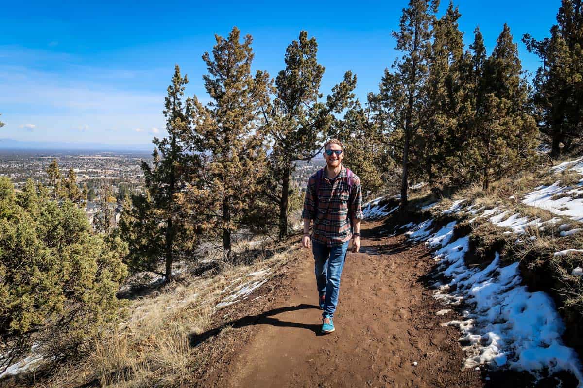
We broke down the route for hiking Pilot Butte in Bend, Oregon into parts to give you an idea of what to expect on the route.
There are two routes to hike up Pilot Butte, the dirt-packed Nature Trail and the paved Summit Road Trail. Both are very similar and run parallel to one another, measuring one mile and stretching from the base to the summit.
In addition to the two trails up the mountain, there’s also the Base Trail. This route wraps completely around the base of Pilot Butte, then connects to the two trails that lead to the summit.
You can take the same trail up and down, or hike up one and down the other to create your own loop. And if you’re up for a longer hike, complete the Base Trail first, then choose one of the trails up to the summit.
The first half of the hike is particularly steep as you gain elevation going up Pilot Butte, but it levels out as both trails wind around toward the summit.
Once at the top, there’s a brick-paved viewpoint with 360-degree views and a handful of interpretive displays. You’ll see Bend down below, surrounded by central Oregon’s unique high desert landscape and the majestic Cascades.
On clear days, you can see Three Sisters, Mount Bachelor, and Mount Hood especially well. On VERY clear days, you may even be able to make out Smith Rock. To get back to the parking lot, take either the nature trail or the paved road down.
Tips for hiking Pilot Butte
- The gate to the main parking lot closes at 7:00 pm sharp. However, you can still access the park and trail; you’ll just need to park somewhere else.
- Beware of vehicle traffic on the paved trail. One of the hiking trails up Pilot Butte is also the road, so be mindful of cars.
- This road is closed to vehicles from November 1st through Memorial Day.
- Leashed pets are welcome. This is one of the most popular Bend-area trails with dog owners, but make sure your pup stays on a leash.
- Consider timing your hike for sunset. The night sky and snow-capped mountains in the distance, along with the twinkling lights of Bend at night down below, create a gorgeous nighttime scene.
- There are pit toilets at the summit, as well as traditional restrooms with flush toilets in the parking lot.
- Leave No Trace. Being a busy trail with no trash cans or trash service, it’s especially important to pack out your trash (including dog poo!) and not leave anything behind.
Where to camp near Pilot Butte
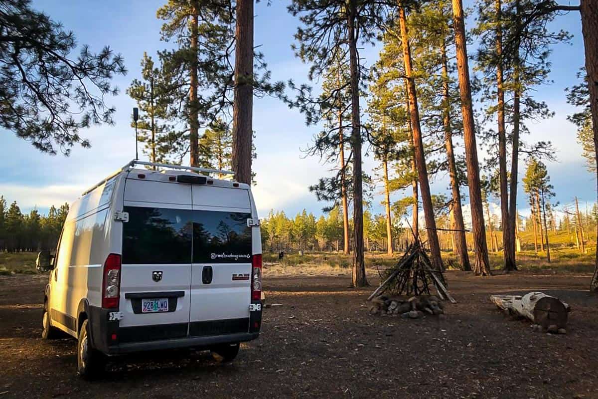
If you’re coming in from out of town to hike Pilot Butte, there is some excellent camping in Bend.
A few of the closest campsites are Tumalo State Park Campground (15 minutes), The Camp (7 minutes), and Big River Campground (30 minutes).
Tumalo State Park and Big River are both traditional campgrounds with tent and RV sites, although Big River is significantly smaller and does not have electricity hookups. The Camp is a boutique luxury campground with van/RV pads, restored vintage trailers, and tiny cottages.
In addition to these campsites, there are TONS of other options within a short drive from Bend — and many of them are totally free!
The Dyrt is our favorite campsite locating app with the largest database of campgrounds (44,000+ campsites and counting!) and over 1 million user-submitted reviews. Plus, it’s super user-friendly, and has some pretty cool features, like outdoor gear contests and forums to connect and seek advice from fellow campers, that you won’t find on any other camping app.
Try their Pro Membership for FREE for 30 days and gain access to the offline version of the app, utilize their trip planning feature AND get exclusive discounts on campsites and gear!
What to pack for hiking Pilot Butte
- Navigation: we recommend using Alltrails+ to download the offline trail map
- Get your first week of using Alltrails+ for FREE when you sign up using our link!
- Hiking daypack
- Water bottles and/or bladder for your Camelbak
- Bug repellant
- Sun protection: sunscreen, hat, sun glasses
- Headlamp (if you’re hiking for sunrise or sunset)
- Camera/tripod (this one’s our favorite for hiking)
- Lots of layers (here is a great resource if you’re wondering what to wear hiking)
- Rain jacket
- Comfortable hiking boots or shoes
- Hiking poles (optional)
- Plenty of snacks: check out our favorite hiking snacks here!
Be sure to grab our ultimate hiking packing list includes our must-have gear for any hiking trail!

You may also like…
- Best Hikes Near Bend, Oregon
- Silver Falls State Park: What to Expect + Best Hikes
- Broken Top Hike: How to Get There & What to Expect
- Ultimate Guide to Visiting Skylight Cave Oregon
- Tumalo Falls Hike: How to Get There & What to Expect
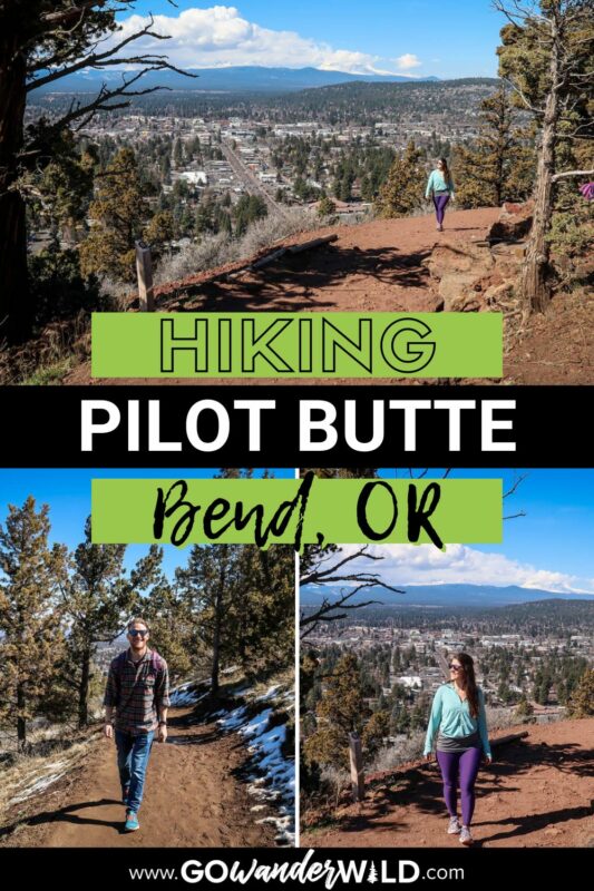
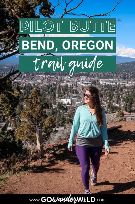
Save this article on Pinterest for later!
We want to hear from you!
Have you ever done the Pilot Butte urban hike in Bend, Oregon? What was your experience like? Do you have more questions about hiking in Bend? Comment below and let us know!

